Line © OpenStreetMap contributors (ODbL), checked by Global Adventurer.
The walk
The walk starts from the car park beside Betws-y-Coed station. Walk through the village to St Mary's Church on the A5, where the waymarked Llyn Elsi Walk begins on the forest road behind the church. The road climbs steeply, with benches on the way, and narrower paths lead on to the monument at the north end of Llyn Elsi. The walk goes round the lake anticlockwise on the shore path, down the west side to the dam at the southern end and back up the east side. It leaves the lake by a forest track to the east and comes down through the trees to the village.
It is 6.2 km with 258 m of ascent; allow about 2¼ hours. The grade is Easy by time, though Natural Resources Wales grades the walk Strenuous for the steep climb at the start.
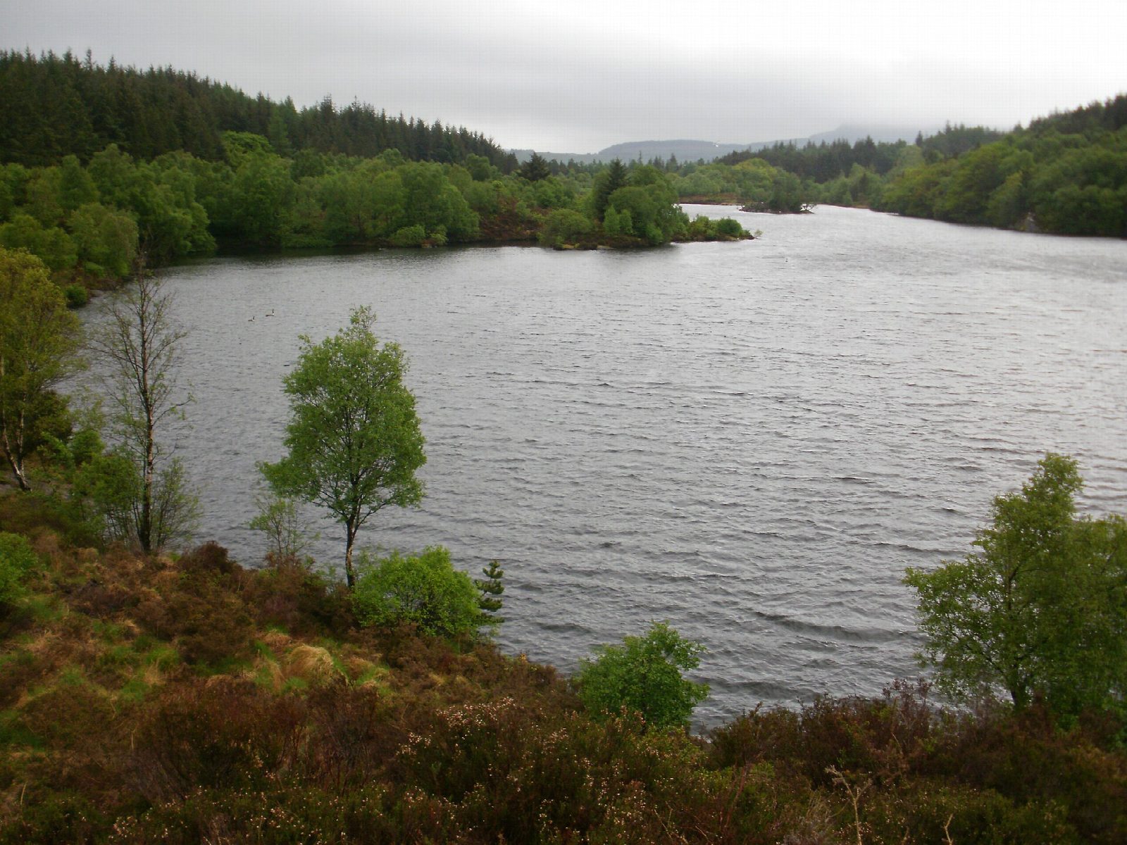
The paths rise and fall steeply and are narrow in places, with mud, rocks and tree roots. The forest has many tracks and junctions: follow the waymarks, and take a map. The lake is a reservoir, made in 1914 by joining two small lakes.
The station car park charges; Betws-y-Coed has other car parks, cafés, shops and toilets. Trains on the Conwy Valley line stop at the station, a minute from the start.
Route drawn by Global Adventurer along OpenStreetMap paths (© OpenStreetMap contributors, ODbL), with figures worked out from it. Check the forecast and the ground on the day: paths change.
Good to know
- A reservoir in Gwydir Forest above Betws-y-Coed, made in 1914 by joining two small lakes
- The monument at the north end marks the opening of the Betws-y-Coed waterworks
- The lake has one small island and is stocked with trout
- Starts a few steps from Betws-y-Coed station
Getting there
Start: Betws-y-Coed station car park · Pay and display. 53.09248, -3.80128
By train: Betws-y-Coed station is 0.1 km from the start.
Places to stay nearby
Rooms in and around Betws-y-Coed: Booking.com → Expedia →
Affiliate links: if you book, Global Adventurer earns a small commission at no cost to you.
Paths change, and the weather decides the day. The line and figures come from OpenStreetMap and our own checks; take a map, check the forecast, and turn back if it isn't right.