Line © OpenStreetMap contributors (ODbL), checked by Global Adventurer.
The walk
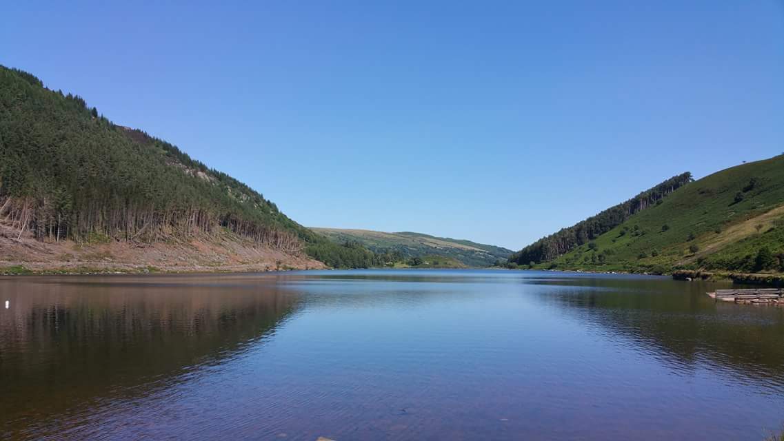
The walk starts from the Llyn Crafnant car park, above Trefriw. It climbs a forest path over the ridge to the east, with a view back over Llyn Crafnant, and comes down to the monument to the poet Taliesin at the north end of Llyn Geirionydd. The path follows the west shore of the lake to its southern end. A narrow path then climbs through larch and drops steeply through spruce to the road in the Crafnant valley, which leads past the lake back to the car park.
It is 6.4 km with 221 m of ascent; allow about 2¼ hours. The grade is Easy by time, though Natural Resources Wales grades its trail Strenuous for the two steep climbs.
This is the waymarked Geirionydd and Crafnant Trail. The forest paths are steep and narrow in places, with mud, rocks and tree roots, and there are two small fords. The last part is along the quiet road beside Llyn Crafnant. Old mine workings near the route are not safe to explore. Mobile signal is poor.
Parking at Llyn Crafnant is free, and there are toilets. The road up from Trefriw is narrow. The nearest station is at Llanrwst, about 4 km away.
Route drawn by Global Adventurer along OpenStreetMap paths (© OpenStreetMap contributors, ODbL), with figures worked out from it. Check the forecast and the ground on the day: paths change.
Good to know
- Two lakes in Gwydir Forest Park, linked by Natural Resources Wales's waymarked Geirionydd and Crafnant Trail
- A monument at Llyn Geirionydd remembers the sixth-century poet Taliesin, said to have lived by the lake
- Llyn Crafnant was given to Llanrwst as its water supply in 1896
- In the nineteenth century these hills were mined for lead
Getting there
Start: Llyn Crafnant car park · Free parking. 53.13923, -3.86043
Places to stay nearby
Rooms in and around Gogledd Llanrwst / North Llanrwst: Booking.com → Expedia →
Affiliate links: if you book, Global Adventurer earns a small commission at no cost to you.
Paths change, and the weather decides the day. The line and figures come from OpenStreetMap and our own checks; take a map, check the forecast, and turn back if it isn't right.
