Line © OpenStreetMap contributors (ODbL), checked by Global Adventurer.
The walk
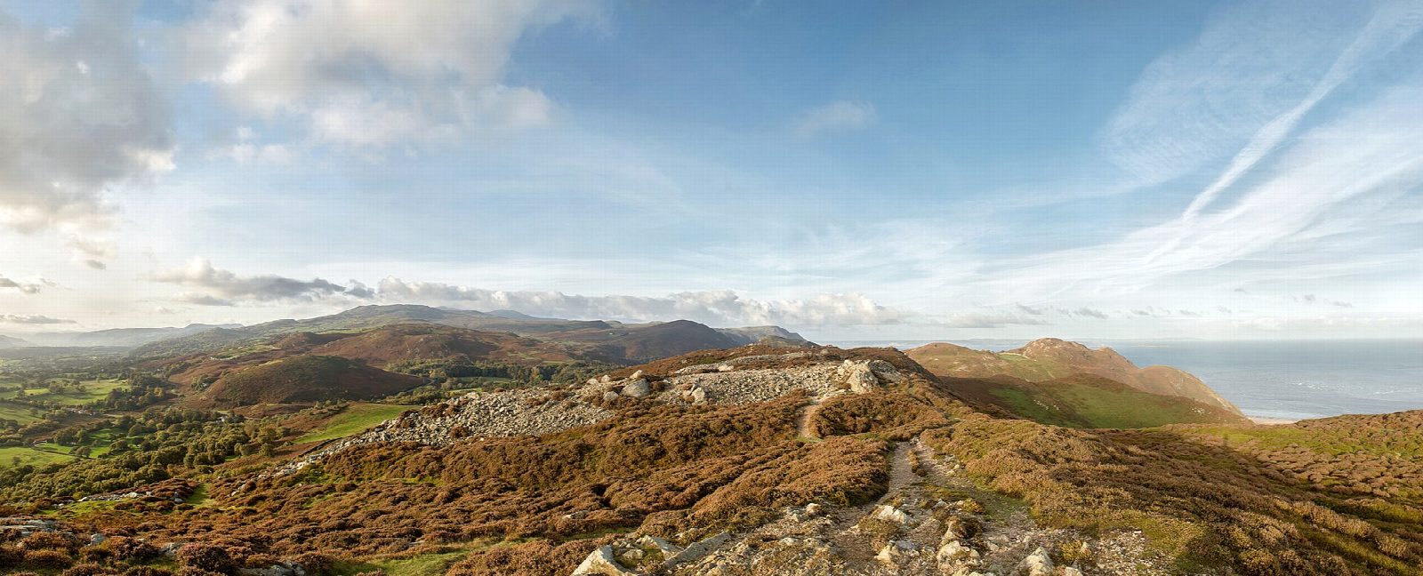
The walk starts from the car park at Conwy station. It leaves the town to the west and climbs onto the east end of Mynydd y Dref, Conwy Mountain. The path follows the crest of the ridge past old millstone quarries to the summit, 244 m, where the stone walls and hut circles of the hillfort of Castell Caer Seion look out over the Conwy estuary and the coast. It carries on west along the ridge and down to the Sychnant Pass, then turns back along the path on the southern slope of the hill to rejoin the outward way above the town.
It is 8.1 km with 321 m of ascent; allow about 3 hours. The grade is Easy.
The paths are grassy and clear, but there are many of them: on the way out keep to the crest, and on the way back to the lower path on the south side. The old quarries on the north side have vertical faces and should be left alone, and the narrower seaward paths have steep drops. The hill is a common grazed by sheep, and the council asks that dogs be kept on a lead.
The station car park charges; there are other car parks in the town. Conwy station is a request stop on the North Wales Coast line.
Route drawn by Global Adventurer along OpenStreetMap paths (© OpenStreetMap contributors, ODbL), with figures worked out from it. Check the forecast and the ground on the day: paths change.
Good to know
- Mynydd y Dref, 244 m, the town's mountain, between Conwy and the Sychnant Pass
- Castell Caer Seion, an Iron Age hillfort with more than 50 hut circles, crowns the top
- The hill is the remains of a volcano about 450 million years old
- Its rock was quarried for millstones in the 1790s
Summits on the way
- Conwy Mountain 247 m · passed close by
Getting there
Start: Conwy station · Pay and display. 53.28021, -3.83050
By train: Conwy station is 0.0 km from the start.
Places to stay nearby
Rooms in and around Conwy: Booking.com → Expedia →
Affiliate links: if you book, Global Adventurer earns a small commission at no cost to you.
Paths change, and the weather decides the day. The line and figures come from OpenStreetMap and our own checks; take a map, check the forecast, and turn back if it isn't right.


