Line © OpenStreetMap contributors (ODbL), checked by Global Adventurer.
The walk
The walk starts from the National Park car park in Croesor. Cross the footbridge over the Afon Croesor and take the road up out of the village past the old school. A track leads on to a gate, and from there a signposted path climbs the long south-west ridge of Cnicht. The ridge steepens as it goes, and just below the summit there is a short rocky step. The top is a narrow crest at 689 m. The return is the same way.
It is 6.2 km with 530 m of ascent; allow about 3½ hours. The grade is Hard: the walk is short, but the upper ridge is steep and rocky.
The rocky step below the summit needs hands and some care; it can be avoided by a path to the side. The ridge is exposed to the wind. Beyond the summit the paths are faint and hard to follow in mist, which matters only if you go on. The lower part crosses farmland with sheep, so keep dogs on a lead.
The car park is free, with about 20 spaces, and Croesor is reached by narrow single-track lanes. There is no public transport to the village.
Route drawn by Global Adventurer along OpenStreetMap paths (© OpenStreetMap contributors, ODbL), with figures worked out from it. Check the forecast and the ground on the day: paths change.
Good to know
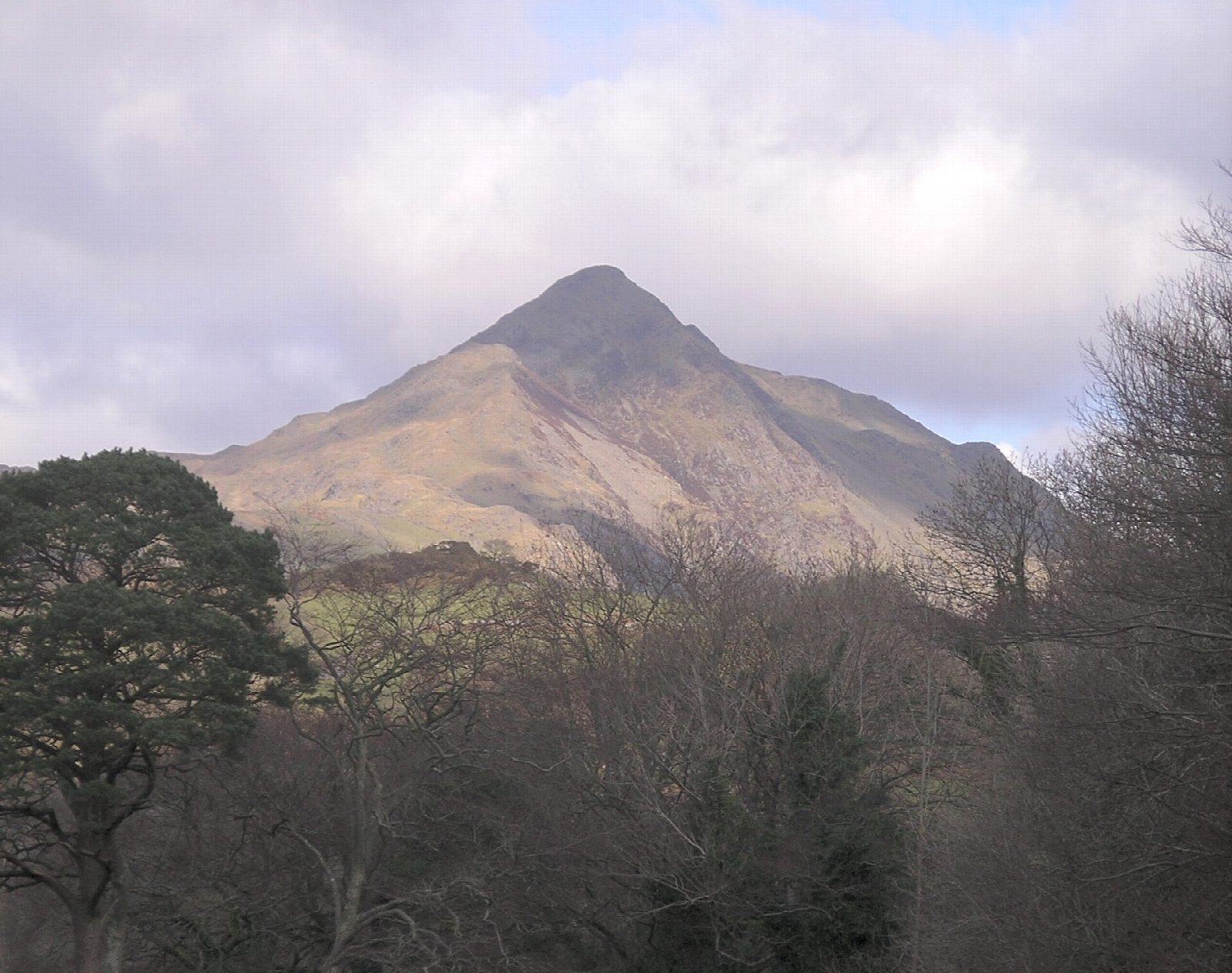
- Called the Welsh Matterhorn for its sharp outline from Porthmadog; from the side it is a long ridge
- 689 m, climbed by its south-west ridge
- A short rocky step just below the top needs hands; it can be turned on the side
- Croesor grew up in the nineteenth century to house slate quarrymen
Summits on the way
- Cnicht 691 m
Getting there
Start: Croesor car park · Free parking. 52.98199, -4.03974
Places to stay nearby
Rooms in and around Penrhyndeudraeth: Booking.com → Expedia →
Affiliate links: if you book, Global Adventurer earns a small commission at no cost to you.
Paths change, and the weather decides the day. The line and figures come from OpenStreetMap and our own checks; take a map, check the forecast, and turn back if it isn't right.