Line © OpenStreetMap contributors (ODbL), checked by Global Adventurer.
The walk
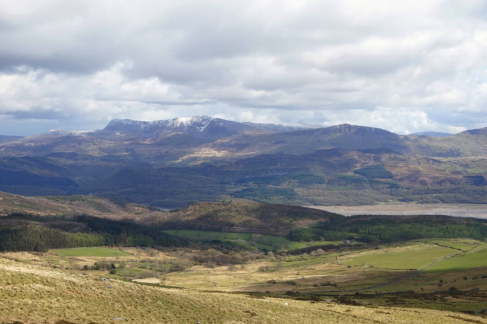
The walk makes a circuit from the Dôl Idris car park at Minffordd, round the rim of Cwm Cau above its dark lake. The steep start climbs through oak woods beside the Nant Cadair waterfalls into the cwm by Llyn Cau, long said to be bottomless. The path then climbs onto the rim over Craig Cwm Amarch (792 m) to Penygadair (893 m), the summit of Cadair Idris, goes on to Mynydd Moel (864 m) and comes down its long south ridge.
It is 10.4 km with 944 m of ascent; allow about 6½ hours. The grade is Hard: the climb is steep from the start, the rim is rough mountain ground, and the south ridge is a long descent that is hard on the knees.
The rim drops steeply into the cwm, so keep to the path in mist. Carry a map and compass, check the mountain forecast and be ready to turn back. In winter the rim holds snow and ice and needs an ice axe, crampons and experience.
The car park charges a fee. Machynlleth station is about 10 km away in a straight line. There are no mapped water sources on the route.
Route drawn by Global Adventurer along OpenStreetMap paths (© OpenStreetMap contributors, ODbL), with figures worked out from it. Check the forecast and the ground on the day: paths change.
Good to know
- The finest way up Cadair Idris: round the rim of Cwm Cau above its dark lake
- Over Craig Cwm Amarch to Penygadair, then Mynydd Moel and down its long south ridge
- The steep start climbs through oak woods beside the Nant Cadair waterfalls
- Llyn Cau was long said to be bottomless
Summits on the way
- Craig Cwm Amarch 792 m
- Cadair Idris - Penygadair 893 m
- Mynydd Moel 864 m
Getting there
Start: Dol Idris car park, Minffordd · Pay and display. 52.68703, -3.87750
Places to stay nearby
Rooms in and around Dol Idris car park: Booking.com → Expedia →
Affiliate links: if you book, Global Adventurer earns a small commission at no cost to you.
Paths change, and the weather decides the day. The line and figures come from OpenStreetMap and our own checks; take a map, check the forecast, and turn back if it isn't right.


