Line © OpenStreetMap contributors (ODbL), checked by Global Adventurer.
The walk
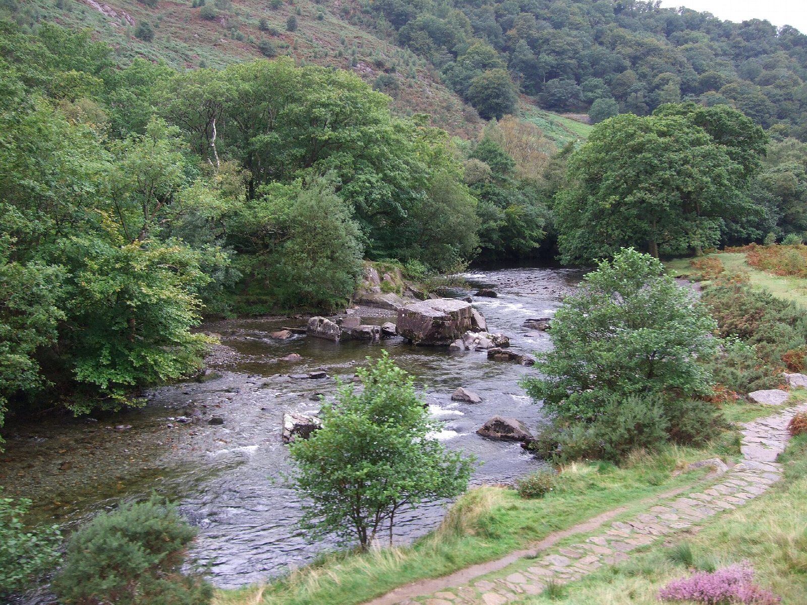
The walk starts from the National Park car park in Beddgelert. It goes through the village and past Gelert's Grave, then follows the Afon Glaslyn downstream. Below Bryn y Felin the Fisherman's Path runs through the Aberglaslyn Pass on the east bank, cut into the rock above the river, to Pont Aberglaslyn and the car park at Nantmor. From there a path climbs the length of Cwm Bychan, past the pylons of an old copper-ore cableway, to the col of Bwlch-y-Sygyn. It drops north-east to the outflow of Llyn Dinas and returns along the south bank of the Glaslyn, past Sygun Copper Mine, to Beddgelert.
It is 10.2 km with 302 m of ascent; allow about 3½ hours. The grade is Moderate; the National Park grades it Hard for the rough ground.
The Fisherman's Path is rocky and narrow: it is treacherous when icy, children need watching, and it can flood when the river is high. The climb up Cwm Bychan is steady and longer than it looks. The Welsh Highland Railway runs through the pass in tunnels beside the path.
The car park is pay and display. Beddgelert has cafés, pubs and toilets, a station on the Welsh Highland Railway, and Sherpa'r Wyddfa buses.
Route drawn by Global Adventurer along OpenStreetMap paths (© OpenStreetMap contributors, ODbL), with figures worked out from it. Check the forecast and the ground on the day: paths change.
Good to know
- The Fisherman's Path is cut into the rock beside the Afon Glaslyn through the Aberglaslyn Pass
- Cwm Bychan was mined for copper; the pylons of the ore cableway still stand
- Gelert's Grave was set up in the late eighteenth century by a Beddgelert innkeeper to draw visitors
- Before the Cob was built at Porthmadog the tide reached Pont Aberglaslyn
Getting there
Start: Beddgelert car park · Pay and display. 53.01194, -4.10605
Places to stay nearby
Rooms in and around Porthmadog: Booking.com → Expedia →
Affiliate links: if you book, Global Adventurer earns a small commission at no cost to you.
Paths change, and the weather decides the day. The line and figures come from OpenStreetMap and our own checks; take a map, check the forecast, and turn back if it isn't right.
