Line © OpenStreetMap contributors (ODbL), checked by Global Adventurer.
The walk
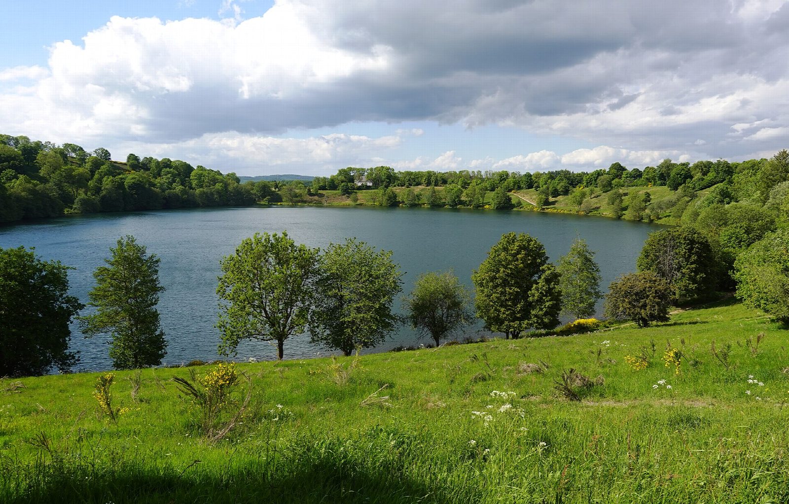
The walk starts from the free visitors' car park in Schalkenmehren, by the first of the three lakes. It climbs the rim of the Schalkenmehrener Maar to the Maarkreuz, a cross and viewpoint, and goes on to the Weinfelder Maar, which it circles past the chapel on its shore. From there it climbs to the Dronke tower on the Mäuseberg, 561 m, drops steeply to the wooded Gemündener Maar, and returns by the Winkelbach valley, past a mineral spring, and over the hill to Schalkenmehren.
It is 11.1 km with 302 m of ascent; allow about 3½ hours. The grade is Moderate, with several short, steep climbs on good paths.
A maar is a crater blown out by a volcanic steam explosion and later filled with water. The Weinfelder Maar, about 30,000 years old and 51 m deep, is also called the Totenmaar, the lake of the dead, for the graveyard beside it. Its chapel was the church of Weinfeld, a village given up in the 16th century after the plague. The tower, built in 1902, can be climbed for a view over all three lakes.
There is nothing to pay. The maars are a nature reserve: keep to the paths and away from the steep crater edges. Bus 560 from Daun stops at Schalkenmehren.
Route drawn by Global Adventurer along OpenStreetMap paths (© OpenStreetMap contributors, ODbL), with figures worked out from it. Check the forecast and the ground on the day: paths change.
Good to know
- Three maars, crater lakes blown out by volcanic steam explosions, lie within 3 km of each other
- The Weinfelder Maar, about 30,000 years old and 51 m deep, is also called the Totenmaar for the graveyard on its rim
- The chapel beside it was the church of Weinfeld, a village given up in the 16th century after the plague
- The Dronke tower of 1902 on the Mäuseberg, 561 m, looks down on the Gemündener Maar
- The maars are a nature reserve: keep to the paths
Summits on the way
- Mäuseberg 561 m · passed close by
Getting there
Start: Schalkenmehren, maar visitors' car park · Free parking. 50.16610, 6.85976
Places to stay nearby
Rooms in and around Schalkenmehren: Booking.com → Expedia →
Affiliate links: if you book, Global Adventurer earns a small commission at no cost to you.
Paths change, and the weather decides the day. The line and figures come from OpenStreetMap and our own checks; take a map, check the forecast, and turn back if it isn't right.