Line © OpenStreetMap contributors (ODbL), checked by Global Adventurer.
The walk
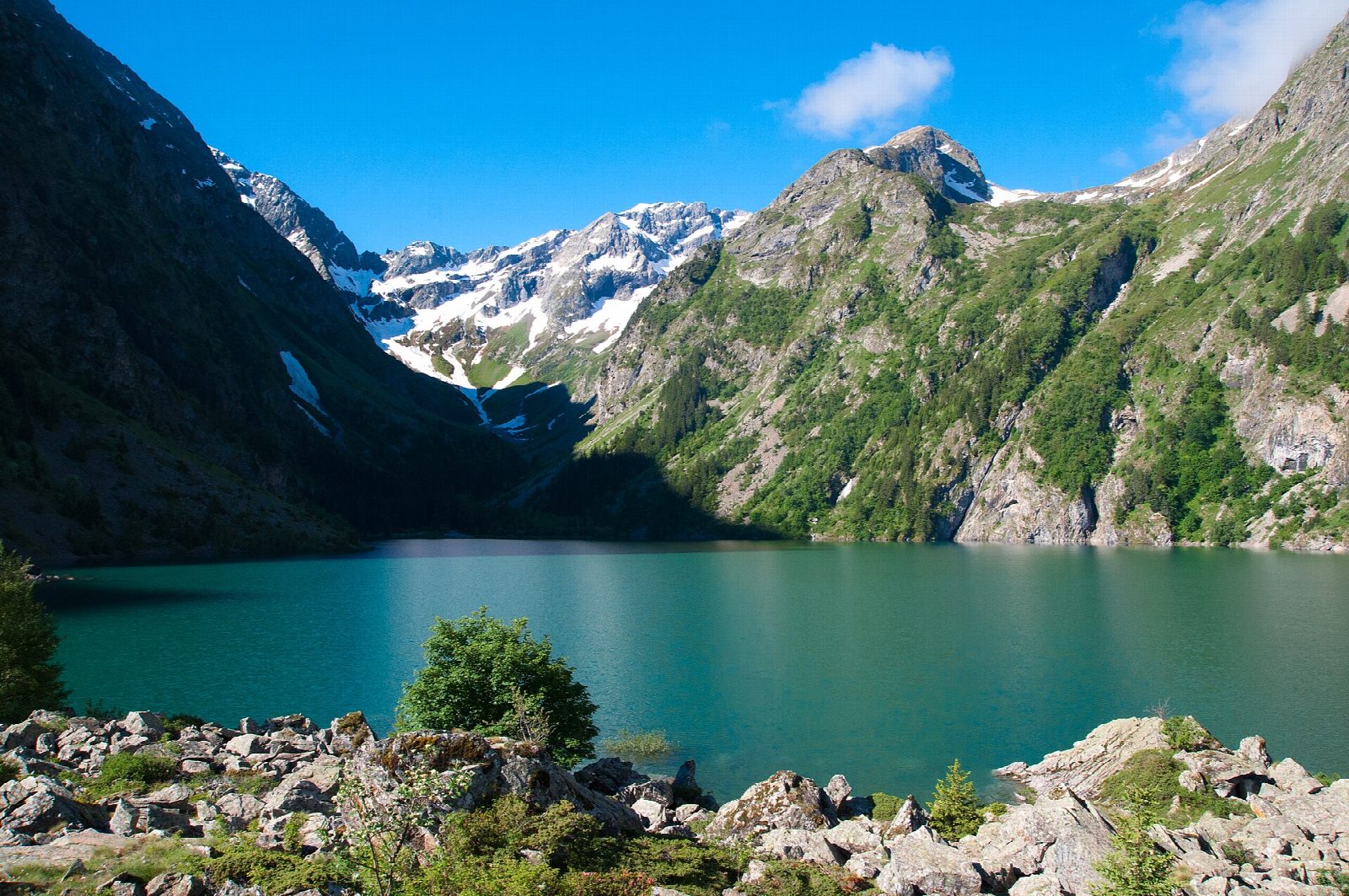
From the Lauvitel car park at La Danchère, above Vénosc in the Vénéon valley, walk through the hamlet and on to the bridge over the Lauvitel stream. The path climbs the left bank in zigzags through woods of broadleaves and spruce, over the great heap of fallen rock that dams the valley, and comes out at the north shore of Lac du Lauvitel, at about 1,530 m, under steep slopes falling from the Rochail. Return the same way.
It is 7.4 km there and back with 572 m of ascent; allow about 4 hours. The grade is Moderate: a steep, steady climb on a good mountain path.
Since the storms of 13 to 14 August 2026 the path on the right bank has been cut where a footbridge was carried away; the park sends walkers up and down the left bank, as here. The lake is 68 m deep, and its south end and the valley beyond are a réserve intégrale, closed to the public for research. The walk is in the core of the Parc national des Écrins: dogs are not allowed, and bivouacking is only allowed in a marked area by the lake. The valley is prone to avalanches in winter and spring.
The free car park is at the top of the road to La Danchère.
Route drawn by Global Adventurer along OpenStreetMap paths (© OpenStreetMap contributors, ODbL), with figures worked out from it. Check the forecast and the ground on the day: paths change.
Good to know
- Lac du Lauvitel, at about 1,530 m, is 68 m deep, the deepest lake in the Écrins, held behind a huge natural dam of fallen rock
- The south end of the lake and the valley beyond are a réserve intégrale, closed to the public and kept for research since 1995
- Storms on the night of 13 to 14 August 2026 swept away a footbridge on the right-bank path; the park sends walkers up and down the left bank
- The walk is in the core of the Parc national des Écrins: dogs are not allowed, and bivouacking only in the marked area by the lake
Getting there
Start: Lauvitel car park, La Danchère. 44.98738, 6.07918
Places to stay nearby
Rooms in and around Lauvitel car park: Booking.com → Expedia →
Affiliate links: if you book, Global Adventurer earns a small commission at no cost to you.
Paths change, and the weather decides the day. The line and figures come from OpenStreetMap and our own checks; take a map, check the forecast, and turn back if it isn't right.