Line © OpenStreetMap contributors (ODbL), checked by Global Adventurer.
The hike
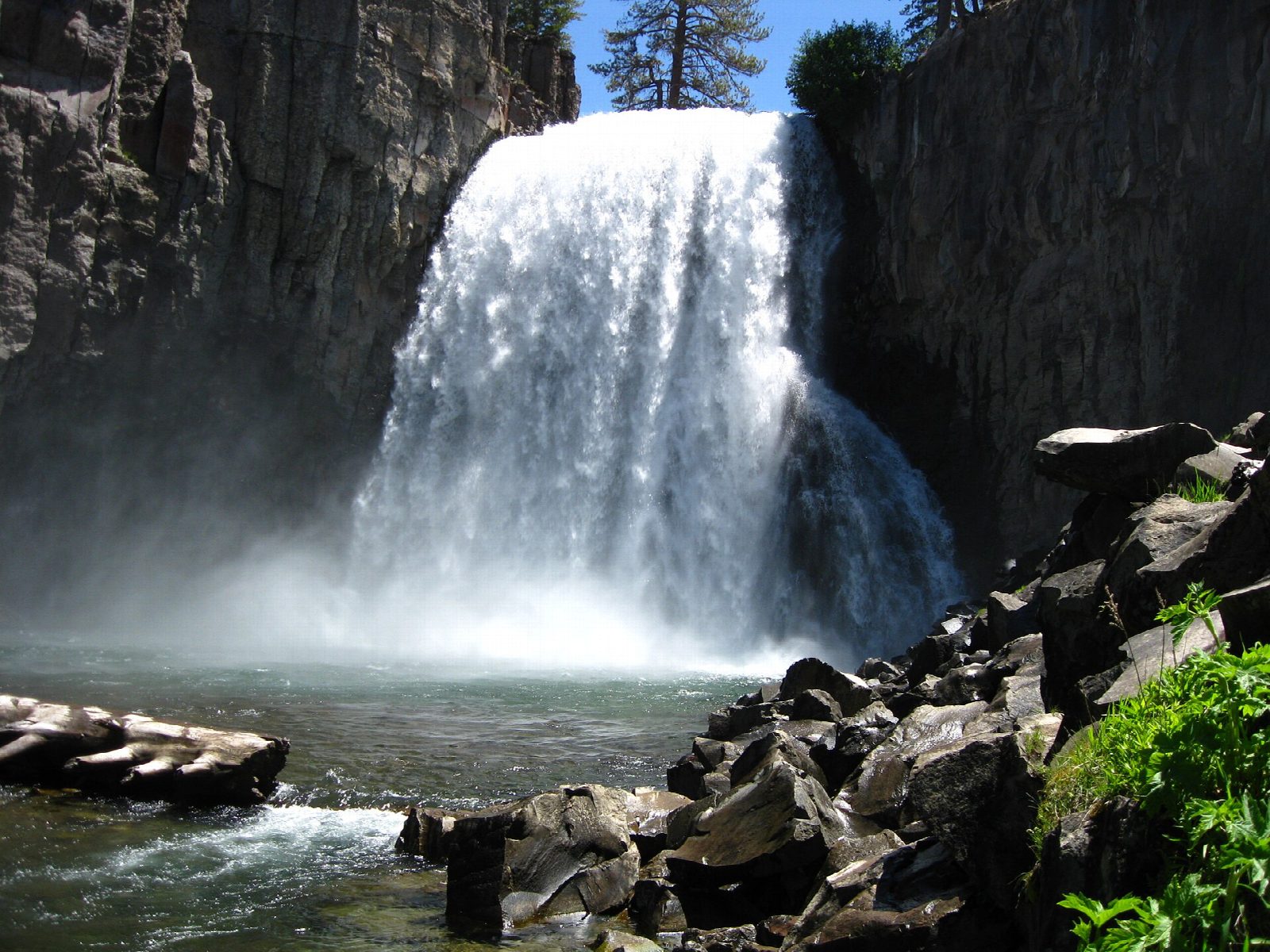
The walk starts at the Devils Postpile ranger station, stop 6 on the shuttle bus. The trail runs south beside the Middle Fork of the San Joaquin River and in under half a mile reaches the Devils Postpile, a cliff of tall basalt columns. A short loop climbs to its top, where the column ends fit together like tiles. The trail goes on south, crosses the John Muir and Pacific Crest trails, and passes through forest burned in 1992. It meets the trail from the Rainbow Falls Trailhead and reaches the viewpoints above Rainbow Falls, 2.5 miles from the start. Return the same way.
It is 4.8 miles (7.7 km) round trip with 340 feet (105 m) of climbing; allow about 2 hours. The grade is Easy: a wide, sandy trail, downhill to the falls and uphill coming back.
The second half of the walk is hot and dry, with very little shade: carry water. Afternoon thunderstorms are common in summer. The river is fast and cold. The monument has no entrance fee.
In summer most visitors must ride the shuttle bus from the Mammoth Mountain Adventure Center; a day pass was $15 for adults in 2026. Reds Meadow Road is closed in winter and normally reopens in mid June or later. While the road is being rebuilt its opening days are limited, so check before you go.
Route drawn by Global Adventurer along OpenStreetMap paths (© OpenStreetMap contributors, ODbL), with figures worked out from it. Check the forecast and the ground on the day: paths change.
Good to know
- Passes the Devils Postpile, lava that cooled and cracked into tall many-sided columns
- In summer private cars are restricted: most visitors ride the shuttle from Mammoth
- Rainbow Falls drops about 30 m; rainbows show in the spray around midday
Getting there
Start: Devils Postpile Ranger Station · Free parking. 37.63043, -119.08527
Places to stay nearby
Rooms in and around Eastern Sierra: Booking.com → Expedia →
Affiliate links: if you book, Global Adventurer earns a small commission at no cost to you.
Paths change, and the weather decides the day. The line and figures come from OpenStreetMap and our own checks; take a map, check the forecast, and turn back if it isn't right.
