Line © OpenStreetMap contributors (ODbL), checked by Global Adventurer.
The hike
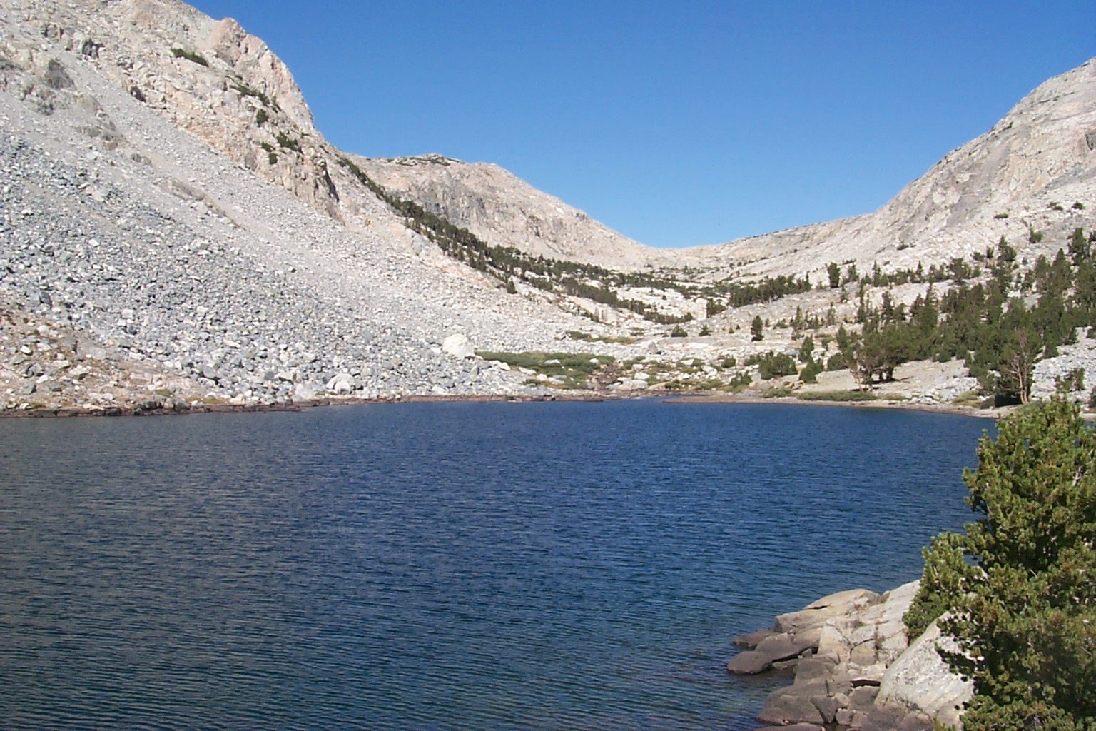
Park in the hiker lot by North Lake, near the pack station: hikers may not park at the trailhead. Walk about half a mile along the road and through North Lake Campground to the start of the Piute Pass Trail. The trail climbs beside the creek through lodgepole pine and aspen, under the Piute Crags and Mount Emerson, then up granite benches to Loch Leven. It goes on past Piute Lake and several smaller lakes to Piute Pass, at 11,423 feet, where Humphreys Basin opens out ahead. Return the same way.
It is 10.4 miles (16.8 km) round trip with 2,120 feet (646 m) of climbing; allow about 6 hours. The grade is Hard: a long, steady climb to well over 11,000 feet.
No permit is needed for a day hike. The trailhead is at 9,320 feet, so take the climb slowly. The pass is open and windy, and cold even in summer: carry warm layers, and start down if a storm is building. Campfires are not allowed anywhere on the trail. Store food in the bear-proof lockers.
Highway 168 and North Lake Road are closed in winter at the gate above Aspendell and reopen in late spring. The aspens around North Lake turn gold in late September and early October.
Route drawn by Global Adventurer along OpenStreetMap paths (© OpenStreetMap contributors, ODbL), with figures worked out from it. Check the forecast and the ground on the day: paths change.
Good to know
- Aspens at North Lake, then Loch Leven and Piute Lake below the pass into Humphreys Basin
- Hikers park in the lot below North Lake and walk the road to the trail
- The pass is close to 3,500 m: bring warm layers, the wind is cold even in summer
Getting there
Start: North Lake hiker parking. 37.23073, -118.61877
Places to stay nearby
Rooms in and around Eastern Sierra: Booking.com → Expedia →
Affiliate links: if you book, Global Adventurer earns a small commission at no cost to you.
Paths change, and the weather decides the day. The line and figures come from OpenStreetMap and our own checks; take a map, check the forecast, and turn back if it isn't right.
