Line © OpenStreetMap contributors (ODbL), checked by Global Adventurer.
The hike
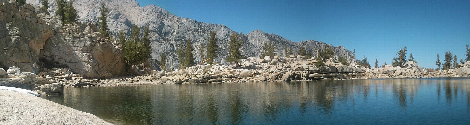
The walk starts at Whitney Portal, at the end of the road 13 miles west of Lone Pine. The Mount Whitney Trail begins on the north side of the road and climbs in long switchbacks across an open slope. It crosses Carillon Creek and the North Fork of Lone Pine Creek, enters the John Muir Wilderness, and climbs through forest to a log crossing of Lone Pine Creek. Just beyond, a signed side trail leads down to Lone Pine Lake, on a granite shelf at about 10,000 feet. Return the same way.
It is 6.1 miles (9.8 km) round trip with 1,650 feet (503 m) of climbing; allow about 4 hours. The grade is Moderate: a steady climb on a well-built trail, starting at 8,300 feet.
No permit is needed to walk as far as the lake. The Mount Whitney Zone begins a tenth of a mile beyond it, and anyone going further, even for the day, needs a permit from the lottery: do not go on without one. Bears are very active at Whitney Portal: put all food and trash in the bear-proof lockers, not the car.
The trail is usually free of snow from late June to mid October; with snow or ice on it, it needs winter skills and equipment. The upper part of Whitney Portal Road is closed in winter. Parking at the trailhead is limited.
Route drawn by Global Adventurer along OpenStreetMap paths (© OpenStreetMap contributors, ODbL), with figures worked out from it. Check the forecast and the ground on the day: paths change.
Good to know
- The first miles of the Mount Whitney Trail, as far as you may go without a Whitney permit
- Switchbacks from 2,550 m through pines to a lake on a granite bench
- Bears are active at the Portal: use the food lockers, never leave food in the car
Getting there
Start: Whitney Portal. 36.58673, -118.23971
Places to stay nearby
Rooms in and around Eastern Sierra: Booking.com → Expedia →
Affiliate links: if you book, Global Adventurer earns a small commission at no cost to you.
Paths change, and the weather decides the day. The line and figures come from OpenStreetMap and our own checks; take a map, check the forecast, and turn back if it isn't right.
