Line © OpenStreetMap contributors (ODbL), checked by Global Adventurer.
The hike
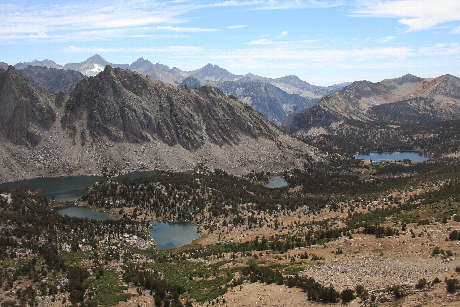
The walk starts at the Onion Valley Trailhead, at the end of the road about 15 miles west of Independence, at 9,200 feet. The Kearsarge Pass Trail climbs steadily in switchbacks past Little Pothole Lake to Gilbert Lake and Flower Lake, each beside the trail. Above the last trees it passes high above Heart Lake and Big Pothole Lake, then makes a long traverse across bare slopes to Kearsarge Pass, at about 11,700 feet. The pass is on the boundary of Kings Canyon National Park. Return the same way.
It is 9.4 miles (15.1 km) round trip with 2,590 feet (789 m) of climbing; allow about 6 hours. The grade is Hard: a well-graded trail, but long, and above 9,000 feet from the first step.
No permit is needed for a day hike. The altitude is the main difficulty: take the climb slowly, and turn back if you feel ill. The upper trail is open to wind and storms, with no shelter. Use the food storage lockers at the trailhead, where there are also toilets and, in summer, water. Campfires are not allowed.
Onion Valley Road is closed by snow from about November to April, and typically opens in May.
Route drawn by Global Adventurer along OpenStreetMap paths (© OpenStreetMap contributors, ODbL), with figures worked out from it. Check the forecast and the ground on the day: paths change.
Good to know
- Up a staircase of lakes to a pass on the Kings Canyon boundary
- Starts at about 2,800 m and tops out near 3,570 m: take it steadily
- Day hikes need no permit; overnight trips into the wilderness do
Getting there
Start: Onion Valley Trailhead. 36.77263, -118.34097
Places to stay nearby
Rooms in and around Eastern Sierra: Booking.com → Expedia →
Affiliate links: if you book, Global Adventurer earns a small commission at no cost to you.
Paths change, and the weather decides the day. The line and figures come from OpenStreetMap and our own checks; take a map, check the forecast, and turn back if it isn't right.