Line © OpenStreetMap contributors (ODbL), checked by Global Adventurer.
The hike
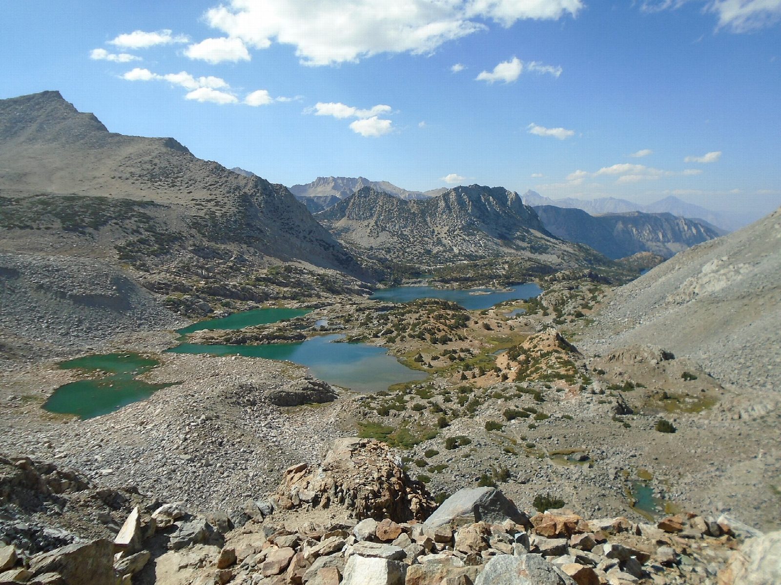
The walk starts at the South Lake Trailhead, at the end of South Lake Road above Bishop, at 9,760 feet. The Bishop Pass Trail leaves the south end of the parking lot and climbs along the east side of South Lake. It passes the turnings for the Treasure Lakes and the Chocolate Lakes and reaches Long Lake, then follows its shore. More climbing leads past Spearhead Lake and the Timberline Tarns to Saddlerock Lake and Bishop Lake, the last water below the pass. Rocky switchbacks climb the headwall to Bishop Pass, at 11,972 feet, where Kings Canyon National Park begins. Return the same way.
It is 11.2 miles (18.0 km) round trip with 2,080 feet (634 m) of climbing; allow about 6 hours. The grade is Hard: a long day at high altitude, with a steep, rocky finish.
No permit is needed for a day hike. The whole walk is above 9,700 feet, so take it slowly and turn back if you feel ill. Snow can lie on the switchbacks below the pass into early summer. This is an active bear area: keep food in the lockers, not the car. The paved lot at the trailhead is small and fills early on summer weekends.
South Lake Road is closed in winter above Bishop Creek Lodge and reopens in late spring.
Route drawn by Global Adventurer along OpenStreetMap paths (© OpenStreetMap contributors, ODbL), with figures worked out from it. Check the forecast and the ground on the day: paths change.
Good to know
- A chain of lakes under granite walls, then a rocky pass into Kings Canyon National Park
- The trailhead car park is small and fills early on summer weekends
- Snow can linger on the upper switchbacks into July
Getting there
Start: South Lake Trailhead. 37.16966, -118.56583
Places to stay nearby
Rooms in and around Eastern Sierra: Booking.com → Expedia →
Affiliate links: if you book, Global Adventurer earns a small commission at no cost to you.
Paths change, and the weather decides the day. The line and figures come from OpenStreetMap and our own checks; take a map, check the forecast, and turn back if it isn't right.