Line © OpenStreetMap contributors (ODbL), checked by Global Adventurer.
The walk
From the P2 car park walk up to the Luontokeskus Ukko visitor centre and climb the steep stairs to the top of Ukko-Koli, above Lake Pielinen. Keep straight on past Paha-Koli and drop through spruce forest to the Mäkränaho meadow. Cross Purolanaho and climb a steep, rooty path onto Mäkrävaara. Follow the hilltop, then go down towards Havukanaho and turn sharp right to the Ikolanaho meadow. From its west corner head north to Mäkränaho and follow the signs back to P2. The loop goes clockwise.
It is 7.5 km round with 245 m of ascent; allow about 2½ hours, though Metsähallitus suggests 3 to 4 hours. The grade is Moderate: big height differences, steep stairs, slippery bare rock and a rooty, rocky climb.
This is a trail for the snow-free season: in winter use the marked snowshoe trail, as the summit stairs are not cleared. The well and spring at Ikolanaho are not safe to drink even if boiled, so carry water.
P1, P2 and P3 are in a paid-parking trial from 1 September 2026 to spring 2027: €1 an hour plus a service fee, the first 30 minutes free, paid by phone app; other Koli car parks are free. No regular bus comes into Koli: buses from Joensuu and Kajaani stop at Ahmovaara on Highway 6, 9 km away, where a pre-ordered bus runs to Koli on weekdays.
Route drawn by Global Adventurer along OpenStreetMap paths (© OpenStreetMap contributors, ODbL), with figures worked out from it. Check the forecast and the ground on the day: paths change.
Good to know
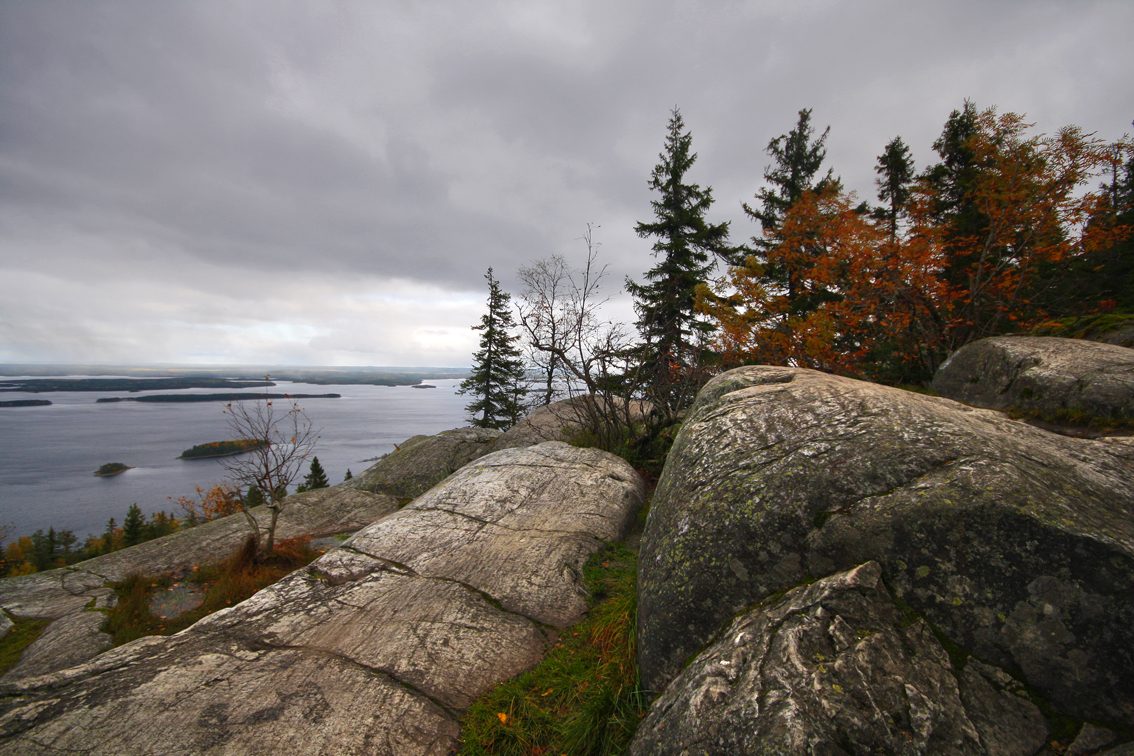
- The view from Ukko-Koli over Lake Pielinen and its islands is one of Finland's national landscapes
- A gnarled pine on Mäkrävaara appears in Eero Järnefelt's paintings
- Mäkrä's rocking stone was carried here by the ice sheet
- The meadows on the way began as slash-and-burn clearings and are still mown the old way
Summits on the way
- Ukko-Koli 347 m
- Akka-Koli 339 m · passed close by
- Paha-Koli 334 m · passed close by
- Mäkrä 313 m · passed close by
Getting there
Start: Koli P2 car park. 63.09455, 29.80348
Places to stay nearby
Rooms in and around Eastern Finland: Booking.com → Expedia →
Affiliate links: if you book, Global Adventurer earns a small commission at no cost to you.
Paths change, and the weather decides the day. The line and figures come from OpenStreetMap and our own checks; take a map, check the forecast, and turn back if it isn't right.