Line © OpenStreetMap contributors (ODbL), checked by Global Adventurer.
The walk
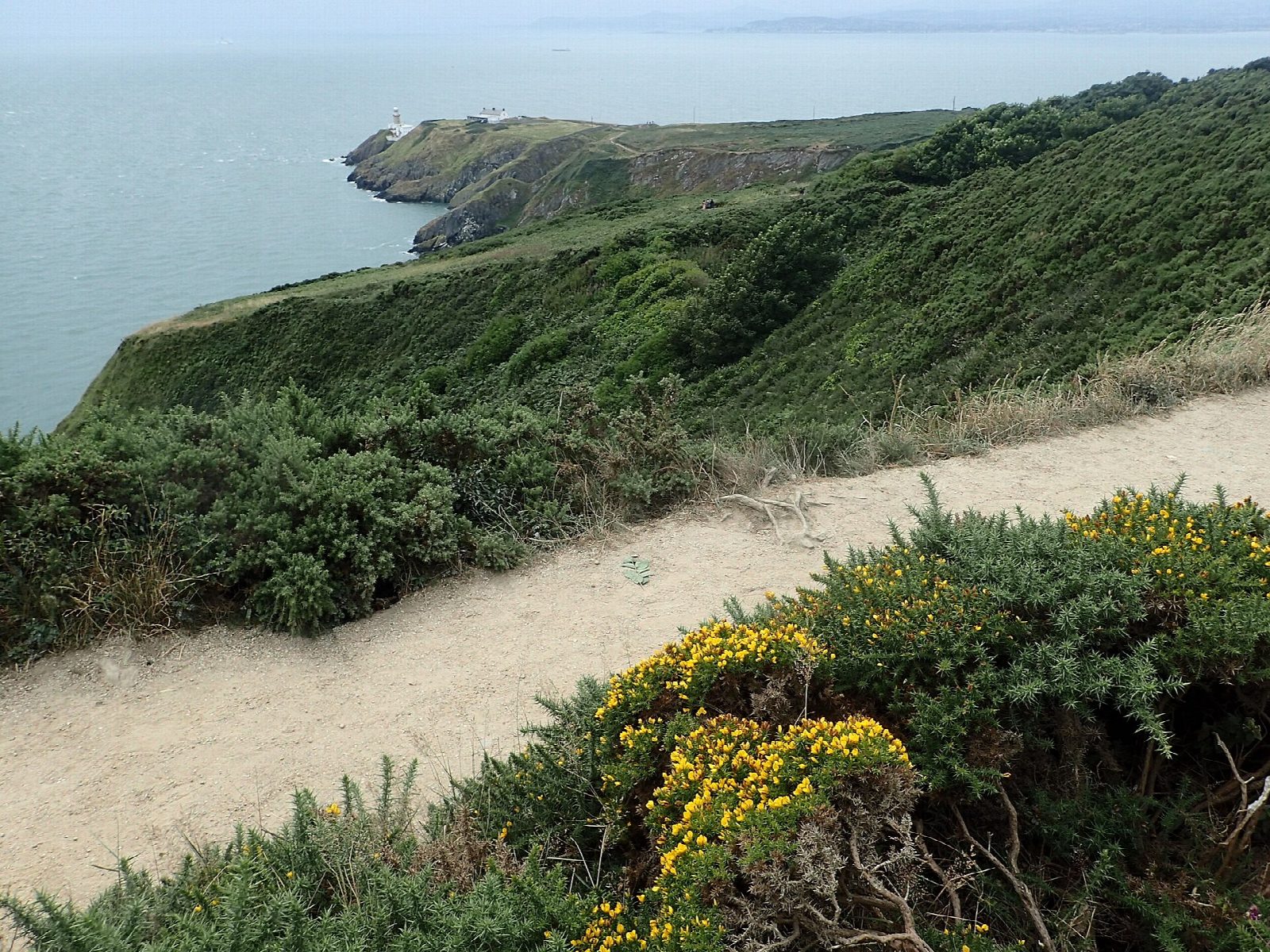
From Howth station walk along the harbour front and up Balscadden Road to Kilrock, where the cliff path begins. Follow the purple arrows clockwise round the east side of the head, keep straight on where the shorter loops turn inland, and pass above the Baily Lighthouse. Carry on west along the south cliffs, then turn uphill on a grassy track, cross Carrickbrack Road and round the shoulder of Shielmartin Hill. Cross the golf course, following the white stones, into the Bog of the Frogs. Go over the shoulder of the Ben of Howth, through the GAA grounds and Balkill Park, and down the old tramline path to the station.
It is 11.6 km round with 255 m of ascent; allow about 3½ hours. The grade is Moderate: a narrow cliff path, grassy tracks and some streets, with several short climbs.
The cliff path is unfenced and narrow in places, above steep drops: stay on the path, and keep dogs and children close. Take care crossing the golf course. The gorse on the head catches fire easily in dry spells.
The walk starts and ends at Howth station, the end of the DART line from Dublin city centre.
Route drawn by Global Adventurer along OpenStreetMap paths (© OpenStreetMap contributors, ODbL), with figures worked out from it. Check the forecast and the ground on the day: paths change.
Good to know
- Howth Head is a rocky peninsula of quartzite and slate on the north side of Dublin Bay
- The Baily Lighthouse, built in 1814, was the last in Ireland to lose its keepers, in 1997
- The walk home follows the line of the Hill of Howth tram, which ran until 1959
- Ireland's Eye and Lambay lie offshore; grey seals often haul out below the cliffs
Getting there
Start: Howth station. 53.38911, -6.07437
By train: Howth station is 0.0 km from the start.
Places to stay nearby
Rooms in and around Howth: Booking.com → Expedia →
Affiliate links: if you book, Global Adventurer earns a small commission at no cost to you.
Paths change, and the weather decides the day. The line and figures come from OpenStreetMap and our own checks; take a map, check the forecast, and turn back if it isn't right.