Line © OpenStreetMap contributors (ODbL), checked by Global Adventurer.
The walk
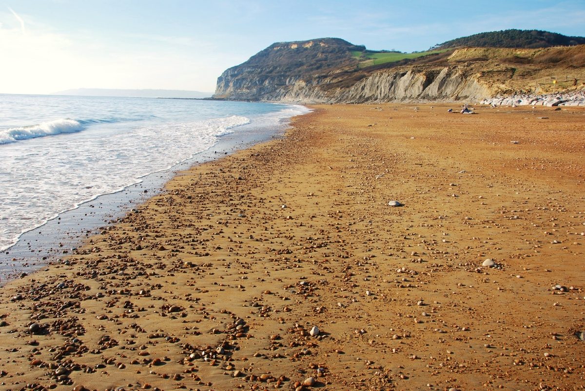
From the car park at Seatown the walk climbs west on the South West Coast Path to the top of Golden Cap, at 191 m the highest point on the south coast of England, named for the band of golden sandstone at its crown. It drops down the far side and turns inland to the ruins of St Gabriel's Chapel, all that remains of a lost village. The way back goes round the woods of Langdon Hill and down the lane and fields to Seatown.
It is 6.4 km with 304 m of ascent; allow about 2½ hours. The grade is Easy. The climb to Golden Cap is steep, on steps and a rough path.
The cliffs here are unstable: keep away from the edges and obey any diversion signs. The coast path from Golden Cap down to the beach has been closed by erosion; this walk goes inland to St Gabriel's instead. Cattle graze the fields below the summit, so keep dogs on leads.
The Seatown car park is small and pay and display; it fills early in summer. There is no station near; the nearest is Axminster, about 14 km away.
Route drawn by Global Adventurer along OpenStreetMap paths (© OpenStreetMap contributors, ODbL), with figures worked out from it. Check the forecast and the ground on the day: paths change.
Good to know
- Up the coast path to Golden Cap, at 191 m the highest point on the south coast of England
- Down to the ruined St Gabriel's Chapel and the remains of a deserted village
- Round Langdon Hill's woods and back to Seatown
- Golden Cap is named after the band of golden sandstone at its top
Summits on the way
- Golden Cap 191 m
Getting there
Start: Seatown car park · Pay and display. 50.72235, -2.82233
Places to stay nearby
Rooms in and around Axminster: Booking.com → Expedia →
Affiliate links: if you book, Global Adventurer earns a small commission at no cost to you.
Paths change, and the weather decides the day. The line and figures come from OpenStreetMap and our own checks; take a map, check the forecast, and turn back if it isn't right.