Line © OpenStreetMap contributors (ODbL), checked by Global Adventurer.
The walk
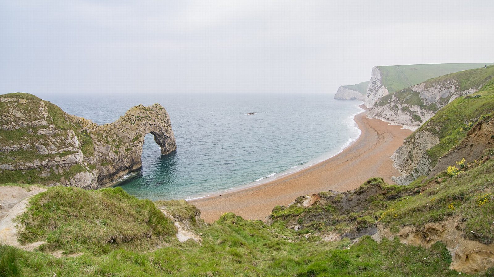
From the car park at Lulworth Cove the walk climbs the broad coast path over Hambury Tout and drops to the cliff top above Durdle Door, the limestone arch standing in the sea. It carries on west over Swyre Head, with steep climbs and drops, to Bat's Head and the small arch at its foot. From there it turns inland, climbs to the ridge track above Scratchy Bottom and heads east to Newlands Farm, then follows a footpath down past Hambury Tout into West Lulworth and back to the cove.
It is 7.6 km with 334 m of ascent; allow about 3 hours. The grade is Easy. The coast path is steep in places and very busy near Durdle Door.
Keep well back from the cliff edges, which are high and unstable. The steps down to Durdle Door beach have been closed since storms in February 2026; this walk stays on the cliff top. Sheep and cattle graze the fields inland.
The car park by the heritage centre is run by the Lulworth Estate and charges a fee. There is no station near; the nearest is Wool, about 7 km away.
Route drawn by Global Adventurer along OpenStreetMap paths (© OpenStreetMap contributors, ODbL), with figures worked out from it. Check the forecast and the ground on the day: paths change.
Good to know
- From Lulworth Cove over Hambury Tout to Durdle Door, a limestone arch in the sea
- On along the cliffs past Swyre Head to Bat's Head
- Back inland above Scratchy Bottom and by Newlands Farm
- Lulworth Cove is one of the best-known landforms on the Jurassic Coast
Summits on the way
- Hambury Tout 138 m · passed close by
Getting there
Start: Lulworth Cove car park · Pay and display. 50.62022, -2.25452
Places to stay nearby
Rooms in and around Wool: Booking.com → Expedia →
Affiliate links: if you book, Global Adventurer earns a small commission at no cost to you.
Paths change, and the weather decides the day. The line and figures come from OpenStreetMap and our own checks; take a map, check the forecast, and turn back if it isn't right.