Line © OpenStreetMap contributors (ODbL), checked by Global Adventurer.
The walk
From the walkers' car park at Shanbally, above Teelin, follow the blue arrow along the green road into a horseshoe-shaped valley, with Croleavy Lough on your left. Past the emergency lay-by the track climbs to a waterfall and a viewpoint over Teelin Bay, where it ends. A rough path, marked by timber posts, climbs the head of the valley to a large boulder: turn left there to the ruins of Aodh Mac Bricne's church and its holy wells. Just beyond, at the top of the Pilgrim Path, the walk ends on the cliff plateau. Return the same way.
It is 6.4 km there and back with 407 m of ascent; allow about 3 hours. The grade is Moderate: a stony track at first, then a rough, steep path onto open cliff tops.
The plateau is open and unfenced above very steep cliffs: keep well back from the edge and carry a map and compass. In mist, yellow paint marks on the rocks lead back to the path. One Man's Pass is not part of this walk: the narrow ridges beyond, west to the summit and south-east towards Bunglass, have drops on both sides.
The car park is reached by a narrow lane with a gate: close it behind you. Do not park in the emergency lay-by. Bus Éireann and McGeehan Coaches serve Carrick, 4 km from the start.
Route drawn by Global Adventurer along OpenStreetMap paths (© OpenStreetMap contributors, ODbL), with figures worked out from it. Check the forecast and the ground on the day: paths change.
Good to know
- The old pilgrim route to the church of Aodh Mac Bricne, a 6th-century bishop who lived as a hermit on the mountain
- Holy wells, a cross-inscribed pillar and prayer cairns lie near the church ruins
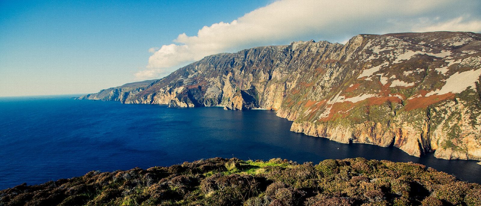
- Sliabh Liag's sea cliffs fall some 600 m to the Atlantic, among the highest in Europe
- The walk stops on the plateau: One Man's Pass beyond is a knife-edge and not part of it
Getting there
Start: Pilgrim Path car park, Teelin. 54.64167, -8.66046
Places to stay nearby
Rooms in and around Pilgrim Path car park: Booking.com → Expedia →
Affiliate links: if you book, Global Adventurer earns a small commission at no cost to you.
Paths change, and the weather decides the day. The line and figures come from OpenStreetMap and our own checks; take a map, check the forecast, and turn back if it isn't right.