Line © OpenStreetMap contributors (ODbL), checked by Global Adventurer.
The walk
From the car park on the R251, go through the kissing gate and follow the built path north across the bog towards the col between Errigal and Mackoght. Where it swings round, climb south-west and then west up Errigal's east shoulder, on a stepped path through loose quartzite scree, to the first of the two summit tops. The highest point is about 80 m further on, across a narrow ridge. Return the same way.
It is 5.3 km there and back with 477 m of ascent; allow about 3 hours. The grade is Moderate: a good built path at first, then steep steps and loose scree, and a narrow ridge at the top.
The ridge between the two tops has steep drops on both sides: in wind, ice or cloud, stop at the first top and turn back there. The mountain is very exposed, the weather changes quickly and low cloud is common, with snow and ice in winter. Steps on the scree can come loose, so take care on the way down. It is not a walk for young children. Cairde na hEaragaile (Friends of Errigal) ask walkers to keep to the built path so the hillside can recover.
The car park is on the R251, about 2 km east of Dunlewey; no fee is stated. We found no regular bus to it.
Route drawn by Global Adventurer along OpenStreetMap paths (© OpenStreetMap contributors, ODbL), with figures worked out from it. Check the forecast and the ground on the day: paths change.
Good to know
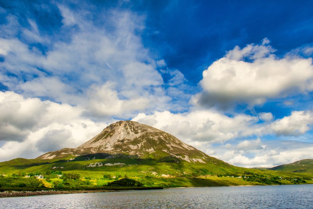
- Errigal (751 m) is the highest mountain in Donegal, a cone of pale quartzite
- A built path and steps replaced the old eroded line from 2022
- The top is two summits joined by a narrow ridge with steep drops on both sides
- From the top you see Tory Island, the Poisoned Glen and the Derryveagh Mountains
Summits on the way
- Errigal 747 m
Getting there
Start: Errigal car park. 55.02480, -8.09005
Places to stay nearby
Rooms in and around Donegal: Booking.com → Expedia →
Affiliate links: if you book, Global Adventurer earns a small commission at no cost to you.
Paths change, and the weather decides the day. The line and figures come from OpenStreetMap and our own checks; take a map, check the forecast, and turn back if it isn't right.