Line © OpenStreetMap contributors (ODbL), checked by Global Adventurer.
The walk
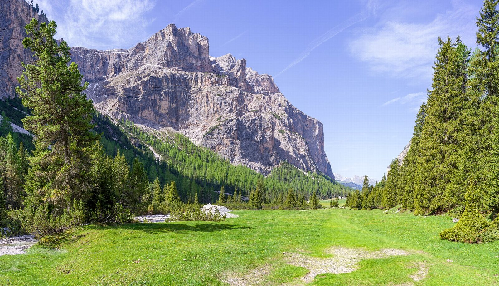
From the car park at the mouth of the valley above Selva di Val Gardena, a wide track, path 14, passes the little chapel of San Silvestro and runs up the floor of the Vallunga (Langental), a long valley walled in by limestone cliffs. It climbs gently past the meadows and wayside cross of Pra da Ri to the head of the valley, where it closes in under the rock walls of the Puez group. Return the same way.
It is 8 km there and back with 205 m of ascent; allow about 2½ hours. The grade is Easy: a wide track with a gentle climb all the way up and an easy walk back.
The valley is in the Puez-Odle nature park, founded in 1978, which covers 10,729 ha. The walk can be done all year: in winter the tourist board describes a winter walk on the same track, though snow and ice can lie on it.
The car park at the valley mouth is paid and has about 90 spaces. In summer bus 357 runs to the Vallunga stop.
Route drawn by Global Adventurer along OpenStreetMap paths (© OpenStreetMap contributors, ODbL), with figures worked out from it. Check the forecast and the ground on the day: paths change.
Good to know
- Up the floor of the Vallunga (Langental) on path 14, in the Puez-Odle nature park, to the rock walls at its head
- Past the little chapel of San Silvestro near the valley mouth
- There is a winter version of the walk on the same track
- Bus 357 runs to the Vallunga stop in summer
Getting there
Start: Vallunga car park · Pay and display. 46.56408, 11.77287
Places to stay nearby
Rooms in and around Dolomites: Booking.com → Expedia →
Affiliate links: if you book, Global Adventurer earns a small commission at no cost to you.
Paths change, and the weather decides the day. The line and figures come from OpenStreetMap and our own checks; take a map, check the forecast, and turn back if it isn't right.