Line © OpenStreetMap contributors (ODbL), checked by Global Adventurer.
The walk
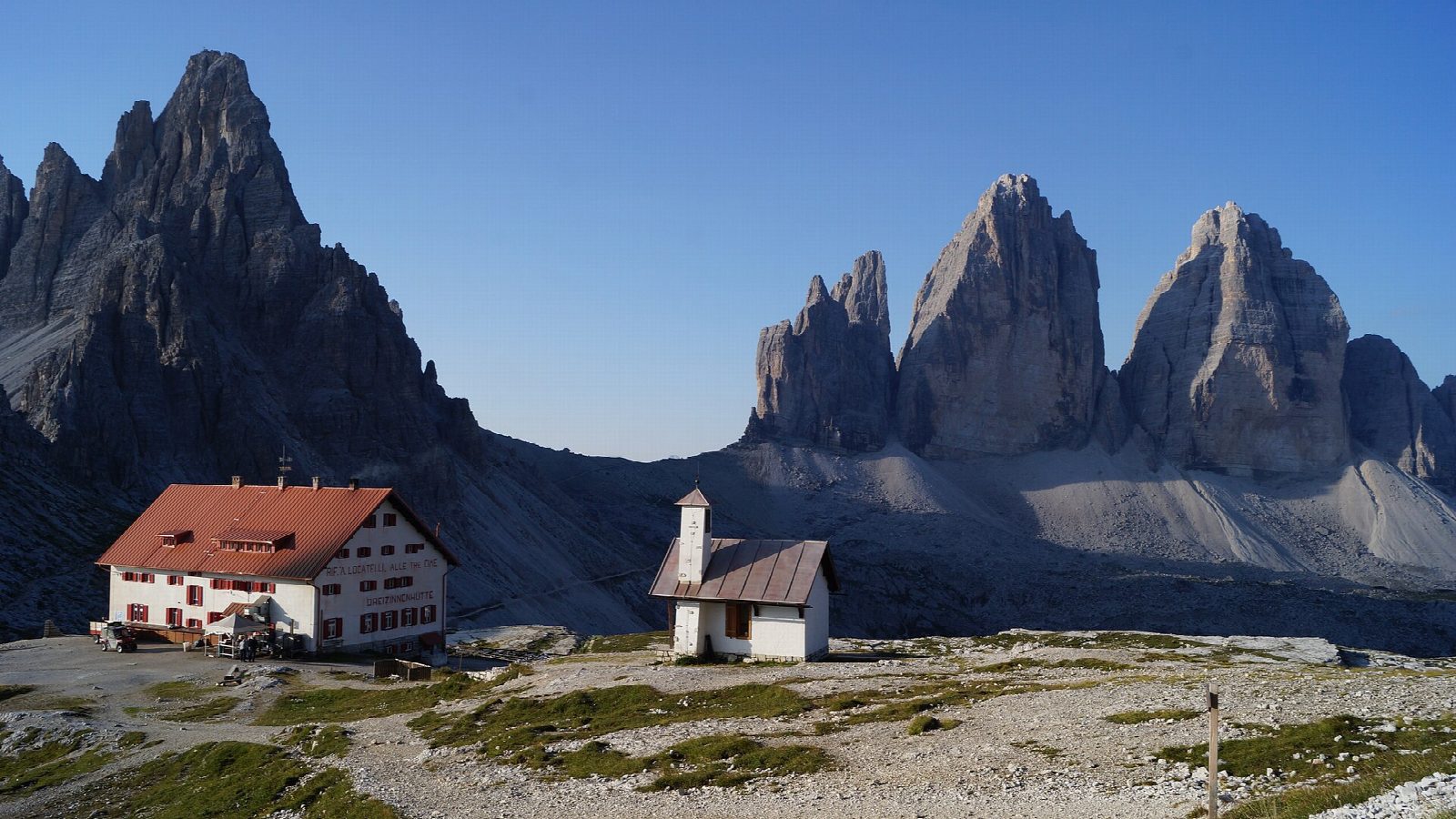
The walk starts at the pay car park at Rifugio Auronzo, at the end of the toll road from Misurina. A broad track, path 101, runs east under the south faces of the three towers to Rifugio Lavaredo, then climbs to the Forcella Lavaredo, 2,454 m, where the north faces come into view. The path crosses the slope to Rifugio Locatelli (Dreizinnenhütte), the classic viewpoint. Path 105 then drops to the pastures and small lake of Malga Langalm and climbs gently round the west side of the towers back to Rifugio Auronzo.
It is 9.5 km round with 346 m of ascent; allow about 3½ hours. The grade is Moderate: broad tracks and good paths between about 2,200 and 2,450 m, with one short, steep climb to the Forcella Lavaredo.
This is a high walk for summer. The huts close from late September (in 2026 Locatelli and Langalm closed on 27 September and Lavaredo on 11 October), and snow and ice can come at any time from October.
The road from Misurina is a toll road, usually open from late May to late October. In 2026 every vehicle had to be booked online, and a car cost €40 for 12 hours. A booked shuttle bus runs from Dobbiaco in summer (in 2026 from 31 May to 11 October).
Route drawn by Global Adventurer along OpenStreetMap paths (© OpenStreetMap contributors, ODbL), with figures worked out from it. Check the forecast and the ground on the day: paths change.
Good to know
- Round the three towers: Cima Grande 2,999 m, Cima Ovest 2,973 m and Cima Piccola 2,857 m
- In the Drei Zinnen (Tre Cime) nature park, founded in 1981
- The road to Rifugio Auronzo is a toll road and in 2026 every vehicle had to be booked online
- Part of the Dolomites World Heritage Site since 2009
Summits on the way
- Col Forcellina 2,232 m · passed close by
Getting there
Start: Rifugio Auronzo car park · Pay and display. 46.61285, 12.29267
Places to stay nearby
Rooms in and around Dolomites: Booking.com → Expedia →
Affiliate links: if you book, Global Adventurer earns a small commission at no cost to you.
Paths change, and the weather decides the day. The line and figures come from OpenStreetMap and our own checks; take a map, check the forecast, and turn back if it isn't right.