Line © OpenStreetMap contributors (ODbL), checked by Global Adventurer.
The walk
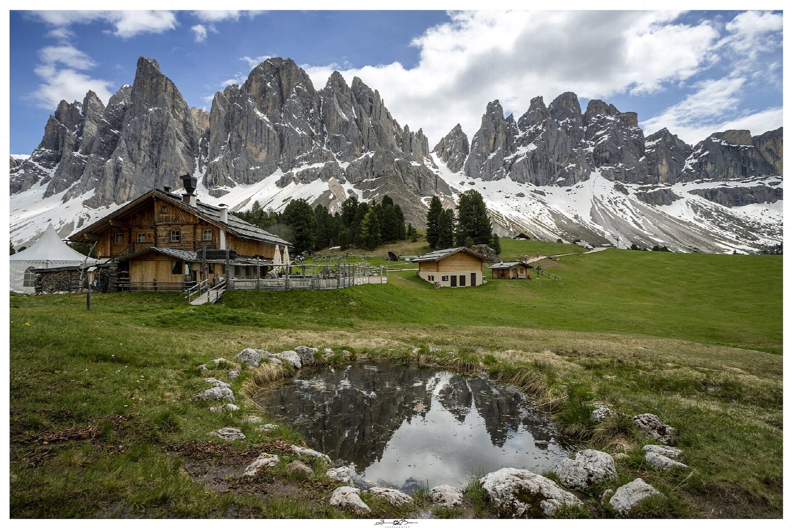
From the Zans car park, 1,675 m, at the head of the Val di Funes, path 6 heads east through the woods towards Ciancenon. Over a bridge the route turns west on path 35, the panoramic path along the foot of the Odle (Geisler) cliffs that the hut calls the Adolf Munkel path, to the pastures of the Gschnagenhardt Alm and the Geisleralm, 1,996 m, with the walls of the Sass Rigais and the Furchetta above. The way back follows the forest road north, closed to traffic, down to Zans.
It is 9.7 km round with 354 m of ascent; allow about 3½ hours. The grade is Moderate: good paths and a wide forest road, with a steady climb at the start.
The Geisleralm is open from mid-May to early November (8 November) and closed on Mondays. Outside that season the path under the cliffs is often under snow. The hut gives 1 hour 40 minutes for the climb by the Munkel path and 1 hour 20 by the forest road. The valley is in the Puez-Odle nature park, founded in 1978.
Some spaces at the Zans car park can be booked online and the rest are first come, first served; parking is paid. Buses run up the valley to Zans in summer.
Route drawn by Global Adventurer along OpenStreetMap paths (© OpenStreetMap contributors, ODbL), with figures worked out from it. Check the forecast and the ground on the day: paths change.
Good to know
- Under the north faces of the Odle (Geisler) group in the Puez-Odle nature park
- The Puez-Odle nature park, founded in 1978, covers 10,729 ha
- The Geisleralm stands at 1,996 m
- Some spaces at the Zans car park can be booked online
Getting there
Start: Zans car park · Pay and display. 46.63574, 11.76543
Places to stay nearby
Rooms in and around Dolomites: Booking.com → Expedia →
Affiliate links: if you book, Global Adventurer earns a small commission at no cost to you.
Paths change, and the weather decides the day. The line and figures come from OpenStreetMap and our own checks; take a map, check the forecast, and turn back if it isn't right.

