Line © OpenStreetMap contributors (ODbL), checked by Global Adventurer.
The walk
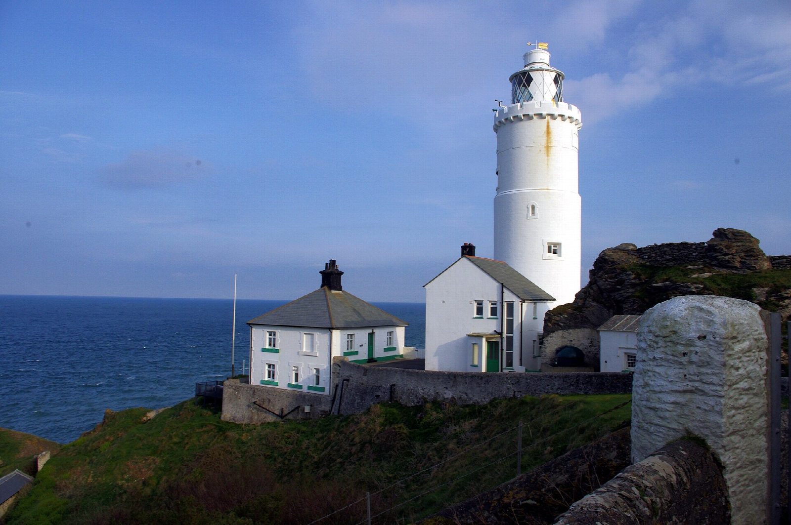
From the car park above Start Point the walk follows the old lighthouse road down the long, narrow headland towards Start Point lighthouse. It turns back to the coast path, which runs west along rocky slopes past Great Sleaden Rock to Great Mattiscombe Sand, a sandy cove below the cliffs. A green lane climbs gently back to the car park.
It is 3.8 km with 154 m of ascent; allow about 1½ hours. The grade is Easy. The lighthouse road is surfaced; the coast path beyond is uneven and rocky.
The last steps down to the beach at Mattiscombe are steep, and there are no facilities. The headland is exposed to the wind. Dogs are allowed on Mattiscombe beach all year. The lighthouse is run by Trinity House and opened to visitors on only four days in summer 2026.
The car park charges £5 a day from March to mid-October, cash or card; mobile signal is very poor. There is no station near; the nearest is Totnes, about 23 km away.
Route drawn by Global Adventurer along OpenStreetMap paths (© OpenStreetMap contributors, ODbL), with figures worked out from it. Check the forecast and the ground on the day: paths change.
Good to know
- Down the old lighthouse road to Start Point lighthouse
- West along the rocky coast path past Great Sleaden Rock
- To Great Mattiscombe Sand and back up a green lane
- The lighthouse is open only on a few summer days
Getting there
Start: Start Point car park · Pay and display. 50.22607, -3.65502
Places to stay nearby
Rooms in and around Totnes: Booking.com → Expedia →
Affiliate links: if you book, Global Adventurer earns a small commission at no cost to you.
Paths change, and the weather decides the day. The line and figures come from OpenStreetMap and our own checks; take a map, check the forecast, and turn back if it isn't right.