Line © OpenStreetMap contributors (ODbL), checked by Global Adventurer.
The walk
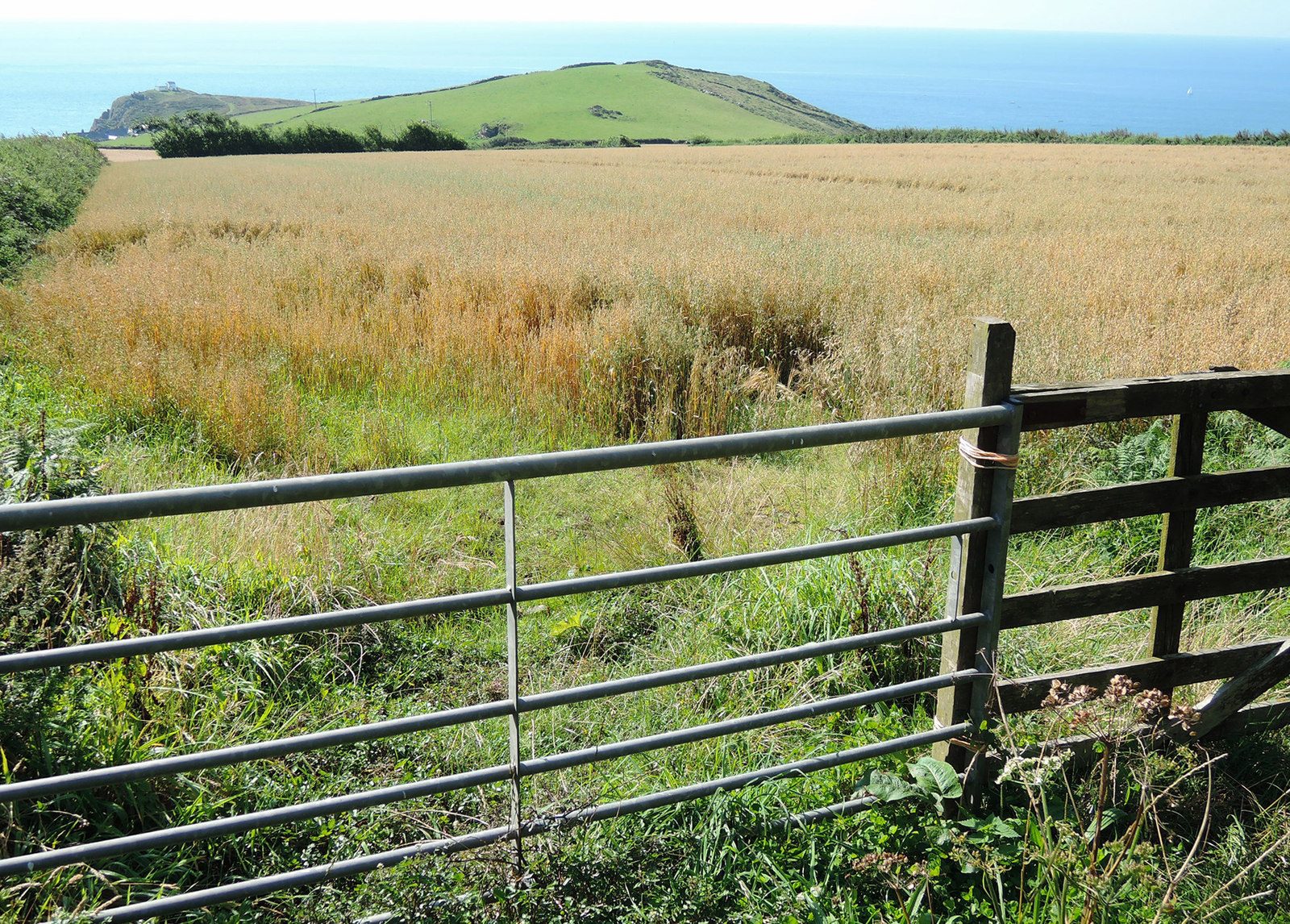
From the village green in East Prawle a lane and track lead down to the coast above Gammon Head and Elender Cove. The coast path runs east to Prawle Point, the southernmost point in Devon, with its coastwatch station. It continues past the old coastguard cottages along low cliffs and old field walls to Langerstone Point and Horsley Cove, and a track climbs back to the village.
It is 6.4 km with 223 m of ascent; allow about 2 hours. The grade is Easy. The coast path is rough and rocky in places.
There are some steep climbs, and the path is muddy in winter. Sheep and cattle graze the coastal fields, so keep dogs on leads. The side paths down to Maceley Cove and Elender Cove are steep.
Parking round the village green is free; the National Trust car park at Prawle Point is tiny and reached by a steep, rough lane. There is no station near; the nearest is Ivybridge, about 24 km away.
Route drawn by Global Adventurer along OpenStreetMap paths (© OpenStreetMap contributors, ODbL), with figures worked out from it. Check the forecast and the ground on the day: paths change.
Good to know
- Down to the coast above Elender Cove and Gammon Head
- Prawle Point, the southernmost point of Devon, with its coastwatch station
- East past the old coastguard cottages to Langerstone Point and Horsley Cove
- Sheep and cattle graze the coastal fields
Getting there
Start: East Prawle village green · Free parking. 50.21475, -3.71000
Places to stay nearby
Rooms in and around Ivybridge: Booking.com → Expedia →
Affiliate links: if you book, Global Adventurer earns a small commission at no cost to you.
Paths change, and the weather decides the day. The line and figures come from OpenStreetMap and our own checks; take a map, check the forecast, and turn back if it isn't right.