Line © OpenStreetMap contributors (ODbL), checked by Global Adventurer.
The walk
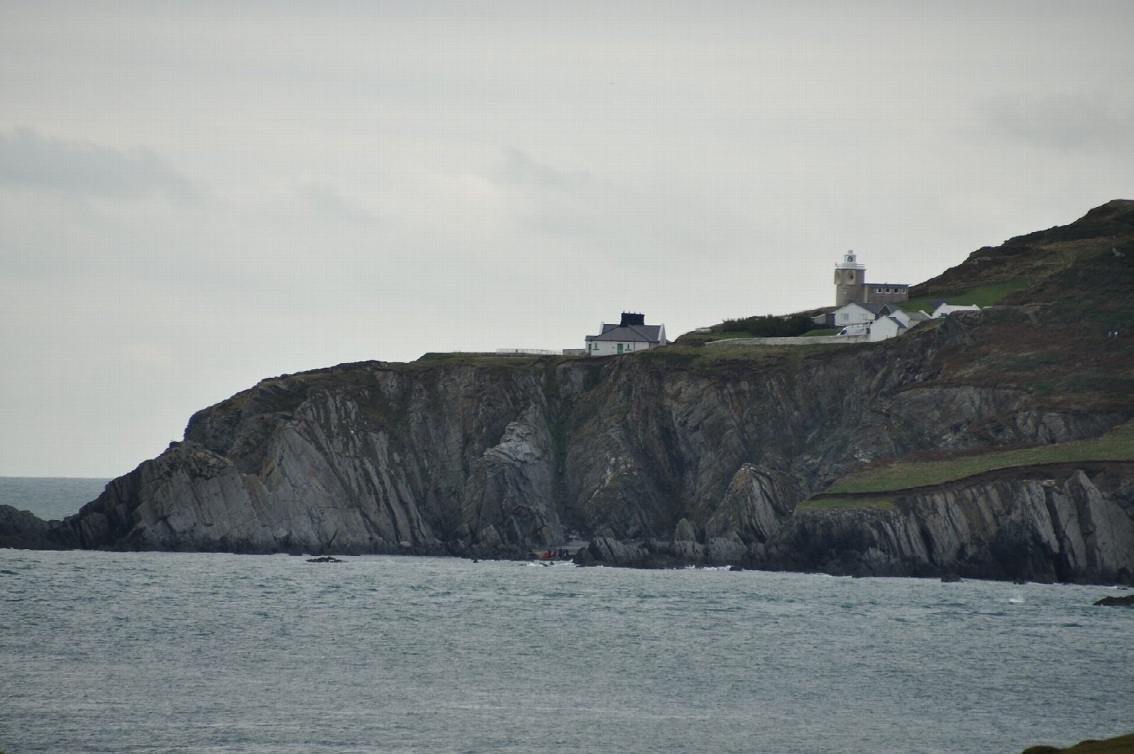
From the car park in Mortehoe the walk drops to the coast at Grunta Beach and follows the path out to Morte Point, where the Morte Stone reef has wrecked many ships. It turns north-east along the cliffs above Rockham Bay to Bull Point and its lighthouse. The way back runs inland past Damage Barton and along the lane to Mortehoe.
It is 9.1 km with 325 m of ascent; allow about 3 hours. The grade is Moderate. There are three steep climbs.
The cliff edges are close to the path. The steps down to Rockham Beach are closed after a landslip, and the beach is reported closed; the walk stays on the path above. Keep dogs on leads near livestock. Morte Point and much of this coast are National Trust land.
Mortehoe car park is run by North Devon Council: £1.60 an hour or £16 for 10 hours from mid-March to October, and £3.50 a day in winter. There is no station near; the nearest is Barnstaple, about 16 km away.
Route drawn by Global Adventurer along OpenStreetMap paths (© OpenStreetMap contributors, ODbL), with figures worked out from it. Check the forecast and the ground on the day: paths change.
Good to know
- Down to Grunta Beach and out to Morte Point, where the Morte Stone reef has wrecked many ships
- Round Rockham Bay to Bull Point lighthouse
- Back inland past Damage Barton
- The steps down to Rockham Beach are closed after a landslip
Getting there
Start: Mortehoe car park · Pay and display. 51.18506, -4.20785
Places to stay nearby
Rooms in and around Barnstaple: Booking.com → Expedia →
Affiliate links: if you book, Global Adventurer earns a small commission at no cost to you.
Paths change, and the weather decides the day. The line and figures come from OpenStreetMap and our own checks; take a map, check the forecast, and turn back if it isn't right.