Line © OpenStreetMap contributors (ODbL), checked by Global Adventurer.
The walk
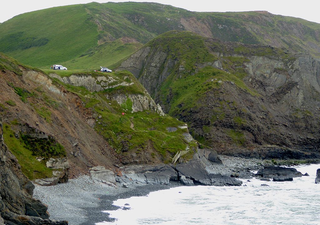
From the car park on the cliff above Hartland Quay the walk follows the coast path south past Screda Point and over St Catherine's Tor, along a coast of twisted, folded rock. It reaches Speke's Mill Mouth, where a stream falls to the beach in a series of waterfalls. The way back turns inland by Lymebridge and follows lanes north to Stoke, whose church tower is a landmark from the sea, and down to the Quay.
It is 5.8 km with 147 m of ascent; allow about 2 hours. The grade is Easy. The coast path climbs and drops steeply.
The cliffs here carry warning signs; keep back from the edges. Speke's Mill beach has rough reefs and is for experienced surfers only. About a third of the walk is on narrow lanes inland. Dogs are not allowed on the beach at the Quay.
The car park above the Quay charges a fee; there are toilets at the Quay. There is no station near.
Route drawn by Global Adventurer along OpenStreetMap paths (© OpenStreetMap contributors, ODbL), with figures worked out from it. Check the forecast and the ground on the day: paths change.
Good to know
- South along the twisted rock strata of the Hartland coast past St Catherine's Tor
- The waterfall at Speke's Mill Mouth
- Inland by Lymebridge and lanes to Stoke and St Nectan's church, whose tower is a landmark from the sea
- Remote and exposed to Atlantic gales
Getting there
Start: Hartland Quay car park · Pay and display. 50.99484, -4.52947
Places to stay nearby
Rooms in and around Devon: Booking.com → Expedia →
Affiliate links: if you book, Global Adventurer earns a small commission at no cost to you.
Paths change, and the weather decides the day. The line and figures come from OpenStreetMap and our own checks; take a map, check the forecast, and turn back if it isn't right.