Line © OpenStreetMap contributors (ODbL), checked by Global Adventurer.
The walk
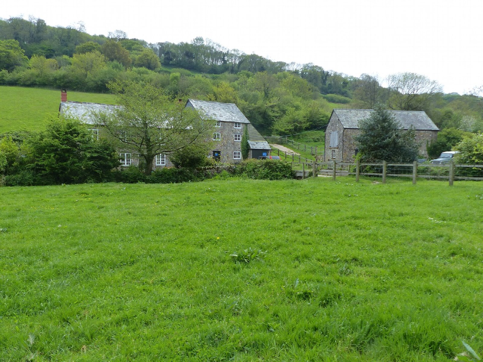
From the National Trust car park in Branscombe the walk passes the Manor Mill and follows the valley down to Branscombe Mouth. It climbs East Cliff by steps and follows the clifftop east, high above the landslip of the Hooken undercliff, to Beer Head, the westernmost chalk cliff in England. It drops into the fishing village of Beer, then climbs back over the hill by Mare Lane and field paths to Branscombe church and the car park.
It is 9.2 km with 253 m of ascent; allow about 3 hours. The grade is Easy. The climb up East Cliff is steep, with steps.
The path through the Hooken undercliff, used by the National Trust's own walk, is closed for public safety until 20 April 2027; this walk keeps to the clifftop and the inland route the council suggests instead. The cliff edges are unfenced. Cattle graze in places: put dogs on leads where signs say so. Mobile signal is poor in the valley.
The National Trust car park is free to members, with a suggested £3 donation from others. There is no station near; the nearest is Honiton, about 12 km away.
Route drawn by Global Adventurer along OpenStreetMap paths (© OpenStreetMap contributors, ODbL), with figures worked out from it. Check the forecast and the ground on the day: paths change.
Good to know
- Down the valley past the Manor Mill to Branscombe Mouth
- Up East Cliff and along the clifftop to Beer Head, the westernmost chalk cliff in England
- Down into Beer, then back over the hill by Mare Lane
- The Hooken undercliff path is closed until April 2027
Getting there
Start: Branscombe village car park · Pay and display. 50.69242, -3.13781
Places to stay nearby
Rooms in and around Honiton: Booking.com → Expedia →
Affiliate links: if you book, Global Adventurer earns a small commission at no cost to you.
Paths change, and the weather decides the day. The line and figures come from OpenStreetMap and our own checks; take a map, check the forecast, and turn back if it isn't right.
