Line © OpenStreetMap contributors (ODbL), checked by Global Adventurer.
The walk
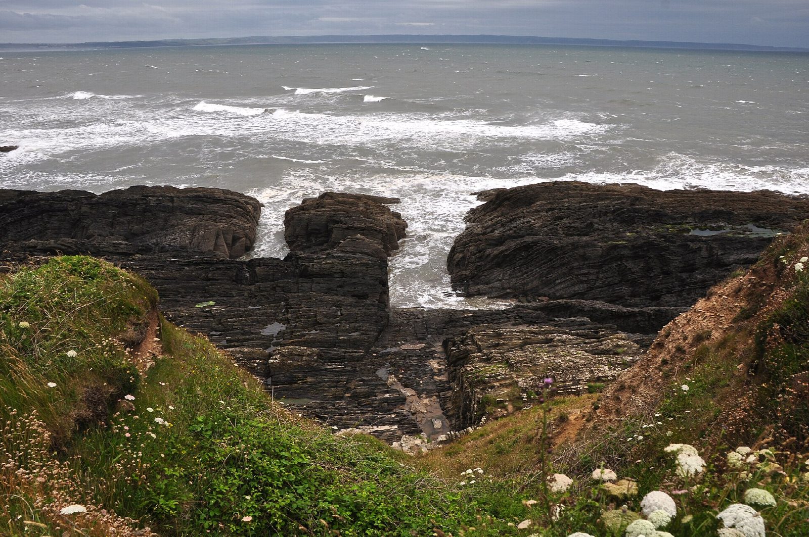
From the National Trust car park in Croyde the walk follows the path west along the south side of Baggy Point, above Croyde Bay. It reaches the tip of the point, where climbers use the slabs above the sea, and turns along the north side of the headland with views across Morte Bay towards Putsborough. Field paths lead back south into Croyde and along the lane to the car park.
It is 7.1 km with 118 m of ascent; allow about 2 hours. The grade is Easy. The path out to the point is wide and well made.
At the end of the point there is a very steep drop on one side with no barrier. The tracks are muddy after rain. Dogs are banned from Croyde beach from 1 May to 30 September. Croyde is very busy in summer.
The car park is a National Trust pay car park, free to members, with toilets and a tea room. There is no station near; the nearest is Barnstaple, about 14 km away.
Route drawn by Global Adventurer along OpenStreetMap paths (© OpenStreetMap contributors, ODbL), with figures worked out from it. Check the forecast and the ground on the day: paths change.
Good to know
- Out along the south side of Baggy Point above Croyde Bay
- Round the point, where climbers use the slabs, and along the north side towards Putsborough
- Back by field paths into Croyde
- A steep, unfenced drop at the end of the point
Getting there
Start: Baggy Point car park · Pay and display. 51.13489, -4.24177
Places to stay nearby
Rooms in and around Barnstaple: Booking.com → Expedia →
Affiliate links: if you book, Global Adventurer earns a small commission at no cost to you.
Paths change, and the weather decides the day. The line and figures come from OpenStreetMap and our own checks; take a map, check the forecast, and turn back if it isn't right.