Line © OpenStreetMap contributors (ODbL), checked by Global Adventurer.
The walk
The walk starts from the car park in the centre of Braemar. It heads west along the main street and up Chapel Brae past the duck pond, then climbs through birch woods to a viewpoint indicator and on up a well-made path over the open moor to the summit of Morrone, 859 m, where the trig point stands beside a mountain rescue radio mast. The descent follows a track south-west and then east down into Glen Clunie, and the return is north along the quiet minor road, the old military road, past the golf course into Braemar.
It is 12.1 km (7.5 miles) with 538 m (1,770 ft) of ascent; allow about 4½ hours. The grade is Moderate.
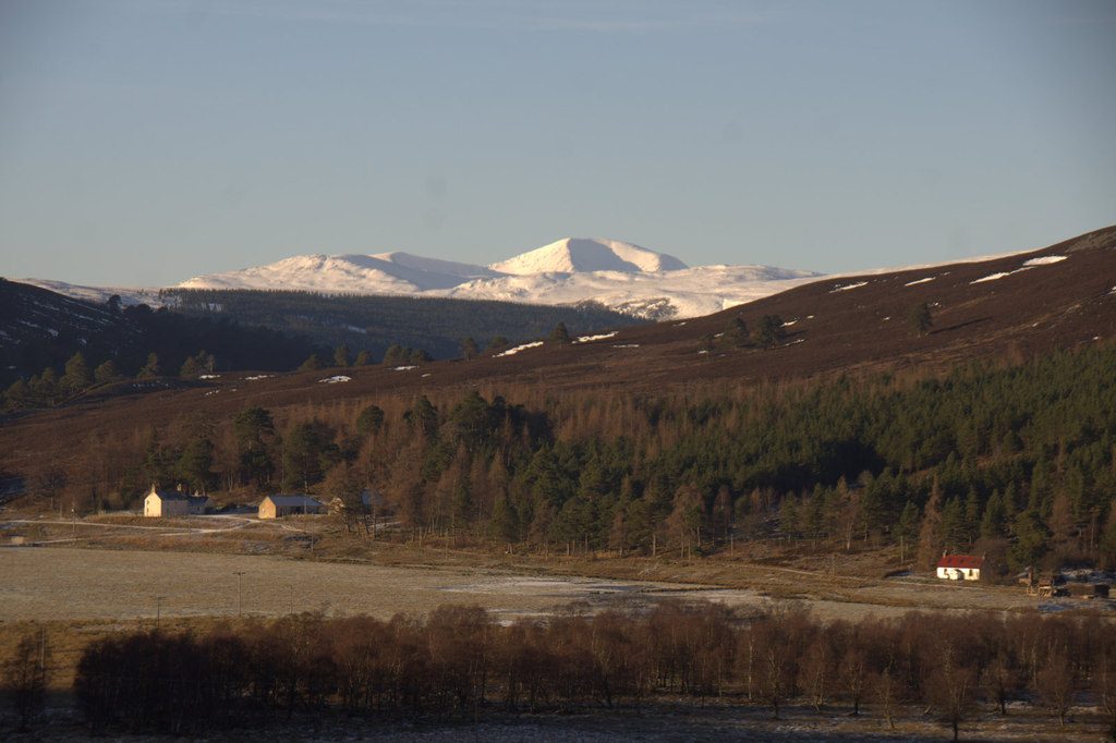
From the top there is a view all round, with higher mountains on every side and the great peaks of the Cairngorms at their finest to the north and west.
The climb is steep but straightforward on a good path; in poor visibility take care finding the track off the top. There is parking at the top of Chapel Brae if the village is busy. Over a third of the walk is on the minor road back from Glen Clunie.
Route drawn by Global Adventurer along OpenStreetMap paths (© OpenStreetMap contributors, ODbL), with figures worked out from it. Check the forecast and the ground on the day: paths change.
Good to know
- Braemar's own hill, a Corbett of 859 m
- Up through the birches above Braemar to a path on the open moor
- A mountain rescue radio mast stands by the summit trig point
- Back down a track into Glen Clunie and along the old military road
Summits on the way
- Morrone 860 m
Getting there
Start: Braemar village car park · Free parking. 57.00552, -3.39839
Places to stay nearby
Rooms in and around Aviemore: Booking.com → Expedia →
Affiliate links: if you book, Global Adventurer earns a small commission at no cost to you.
Paths change, and the weather decides the day. The line and figures come from OpenStreetMap and our own checks; take a map, check the forecast, and turn back if it isn't right.


