Line © OpenStreetMap contributors (ODbL), checked by Global Adventurer.
The walk
The walk starts from the pay car park at Auchallater, by the A93 south of Braemar. It follows the estate track, part of Jock's Road, the old drove road over to Glen Doll, up the bare lower glen beside the cascading Callater Burn, crosses the burn and continues to Lochcallater Lodge and Callater Stable at the foot of the loch. A path then runs along the south-west shore for about a kilometre, past small sandy bays, before you turn back the same way.
It is 12.1 km (7.5 miles) with 154 m (505 ft) of ascent; allow about 3½ hours. The grade is Moderate, for the distance; the going is easy.
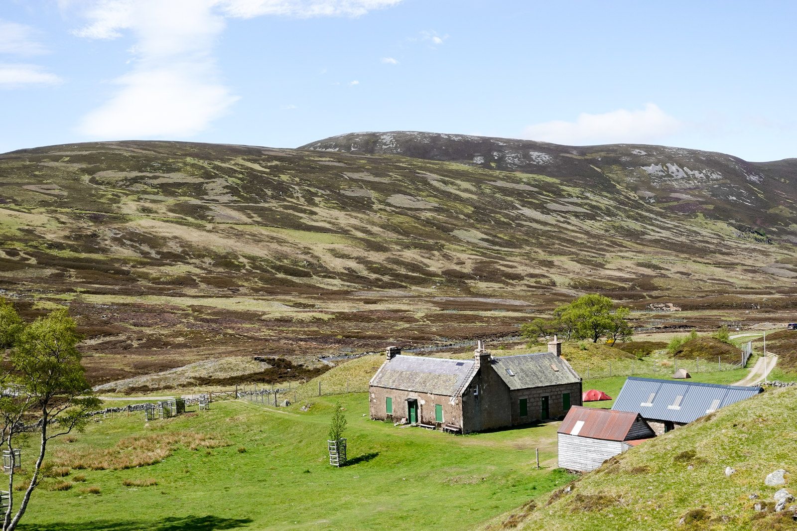
Looking back down the glen there are views to Ben Avon and its line of granite tors, and ahead Tolmount closes the head of the glen. Callater Stable, beside the shooting lodge, is a bothy looked after by the Mountain Bothies Association.
It is a clear track most of the way. Going right round the loch means wading the river above it, possible only in dry weather, so this walk turns back on the shore path instead.
Route drawn by Global Adventurer along OpenStreetMap paths (© OpenStreetMap contributors, ODbL), with figures worked out from it. Check the forecast and the ground on the day: paths change.
Good to know
- Up Glen Callater on Jock's Road, the old drove road over to Glen Doll
- Callater Stable, beside the lodge at the foot of the loch, is a bothy looked after by the Mountain Bothies Association
- A path along the loch shore, with Tolmount at the head of the glen
- A clear estate track most of the way
Getting there
Start: Auchallater car park · Pay and display. 56.97736, -3.39001
Places to stay nearby
Rooms in and around Aviemore: Booking.com → Expedia →
Affiliate links: if you book, Global Adventurer earns a small commission at no cost to you.
Paths change, and the weather decides the day. The line and figures come from OpenStreetMap and our own checks; take a map, check the forecast, and turn back if it isn't right.


