Line © OpenStreetMap contributors (ODbL), checked by Global Adventurer.
The walk
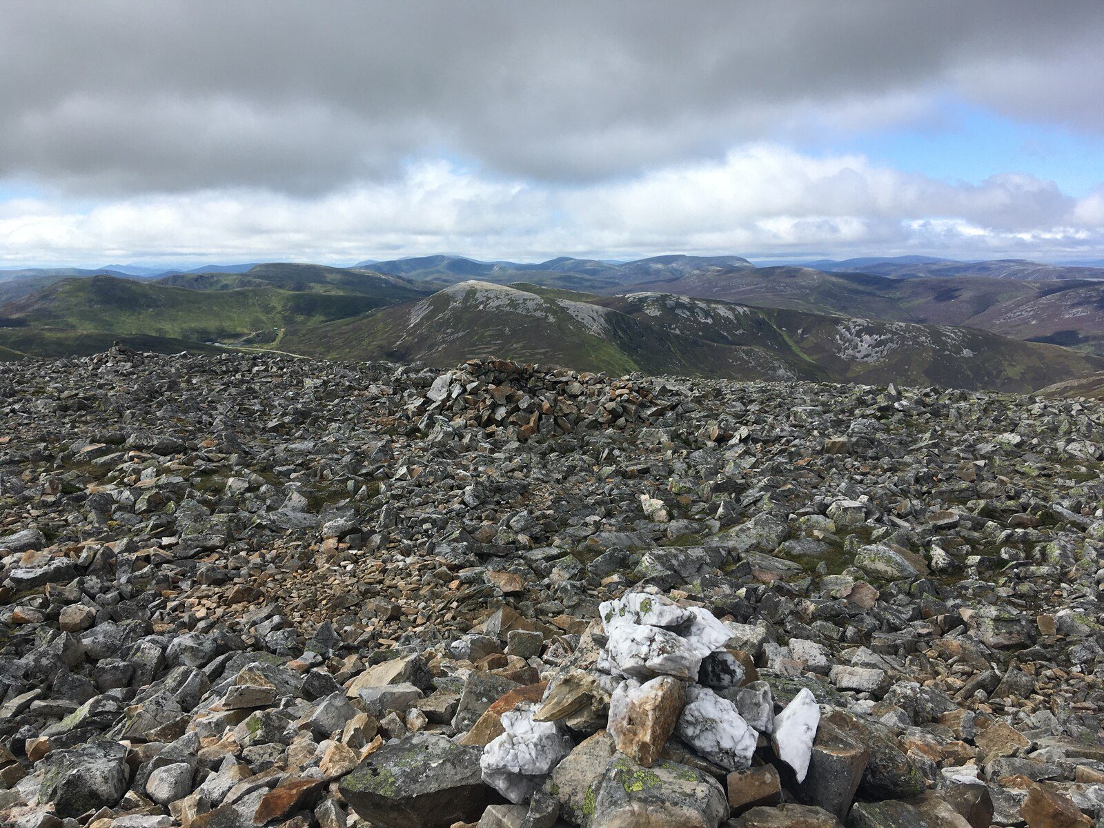
The walk starts from the lay-by on the east side of the A93 about 2 km north of the Glenshee Ski Centre. It crosses the grass-covered old stone bridge of the military road and follows a rough path up the burn, past old shielings, to the stony dome of Carn an Tuirc. From there it crosses the plateau to Cairn of Claise, beside an old county boundary wall, and on to Glas Maol, 1,068 m, the highest of the day. A ridge leads south by Bathach Beag to Creag Leacach. The return goes back over Glas Maol and down a path on the Sròn na Gaoithe ridge to the lay-by.
It is 18.6 km (11.6 miles) with 947 m (3,110 ft) of ascent; allow about 7½ hours. The grade is Hard.
The plateau has a great sense of space, stretching away east and north towards Lochnagar, with Coire Loch Kander, a classic corrie, just off the route beyond Carn an Tuirc. Creag Leacach, the lowest of the four, is the rockiest and finest.
The going is boggy low down and featureless higher up, so navigation in mist is hard. Walkhighlands returns instead over the ski area and 2.5 km of the A93; this line avoids the road.
Route drawn by Global Adventurer along OpenStreetMap paths (© OpenStreetMap contributors, ODbL), with figures worked out from it. Check the forecast and the ground on the day: paths change.
Good to know
- Four Munros from a lay-by on the A93 north of the Cairnwell Pass
- Up Carn an Tuirc from an old bridge on the military road
- Glas Maol, 1,068 m, is the highest; an old county boundary wall crosses the plateau
- Creag Leacach is the lowest of the four but the finest
Summits on the way
- Carn an Tuirc 1,019 m
- Cairn of Claise 1,063 m
- Glas Maol 1,068 m
- Creag Leacach 988 m
- Sròn na Gaoithe · passed close by
Getting there
Start: Lay-by on the A93 north of the Cairnwell Pass · Free parking. 56.90331, -3.40068
Places to stay nearby
Rooms in and around Pitlochry: Booking.com → Expedia →
Affiliate links: if you book, Global Adventurer earns a small commission at no cost to you.
Paths change, and the weather decides the day. The line and figures come from OpenStreetMap and our own checks; take a map, check the forecast, and turn back if it isn't right.


