Line © OpenStreetMap contributors (ODbL), checked by Global Adventurer.
The walk
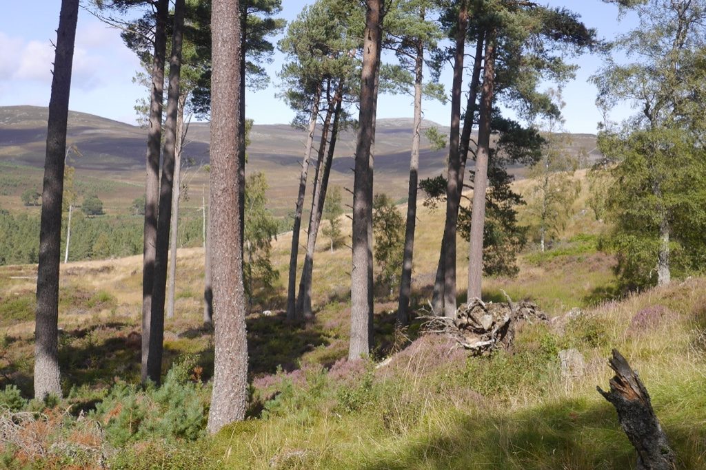
The walk starts from the walkers' car park at Keiloch on the Invercauld estate, which charges. It follows the private road west past the estate houses into the pinewoods, then turns up a track that was part of the drove road to Tomintoul, climbing through birches and old pines. A smaller track crosses the low pass north of Craig Leek, and a grassy track drops past the ruins of an old settlement into the glen of the Felagie Burn, which leads back to Keiloch past the little cottage at Felagie.
It is 8.4 km (5.2 miles) with 243 m (800 ft) of ascent; allow about 2¾ hours. The grade is Easy.
In the 1700s thousands of cattle came this way on their way to the markets in the south. On the way up there are views back up the Dee towards Braemar, and from the pass Lochnagar towers ahead. The castellated Invercauld House can be glimpsed through the trees near the start, and Beinn a' Bhùird fills the view from the estate houses.
The route follows the waymarked Craig Leek path network on a lane, tracks and paths. A small burn in the Felagie glen has to be forded, usually dry-shod.
Route drawn by Global Adventurer along OpenStreetMap paths (© OpenStreetMap contributors, ODbL), with figures worked out from it. Check the forecast and the ground on the day: paths change.
Good to know
- Up the old drove road to Tomintoul, used by cattle drovers in the 1700s
- Over a pass north of Craig Leek with a view of Lochnagar
- Down past the ruins of an old settlement in the hidden glen of the Felagie Burn
- Invercauld estate tracks and paths from the pay car park at Keiloch
Getting there
Start: Keiloch car park · Pay and display. 57.00569, -3.33797
Places to stay nearby
Rooms in and around Deeside: Booking.com → Expedia →
Affiliate links: if you book, Global Adventurer earns a small commission at no cost to you.
Paths change, and the weather decides the day. The line and figures come from OpenStreetMap and our own checks; take a map, check the forecast, and turn back if it isn't right.


