Line © OpenStreetMap contributors (ODbL), checked by Global Adventurer.
The walk
The walk starts from the National Trust for Scotland's pay car park at the Linn of Dee. A forest path leads to the Glen Lui track, which runs up the glen to the pines round Derry Lodge. Past the mountain rescue post a footbridge crosses the Derry Burn, and a path, boggy at first, continues up Glen Luibeg to the Luibeg Burn. Beyond it a rebuilt path climbs steadily north-west to the south ridge, passes left of the first top and crosses a shallow col to the summit. Return the same way.
It is 21.8 km (13.5 miles) with 691 m (2,270 ft) of ascent; allow about 7¼ hours. The grade is Hard.
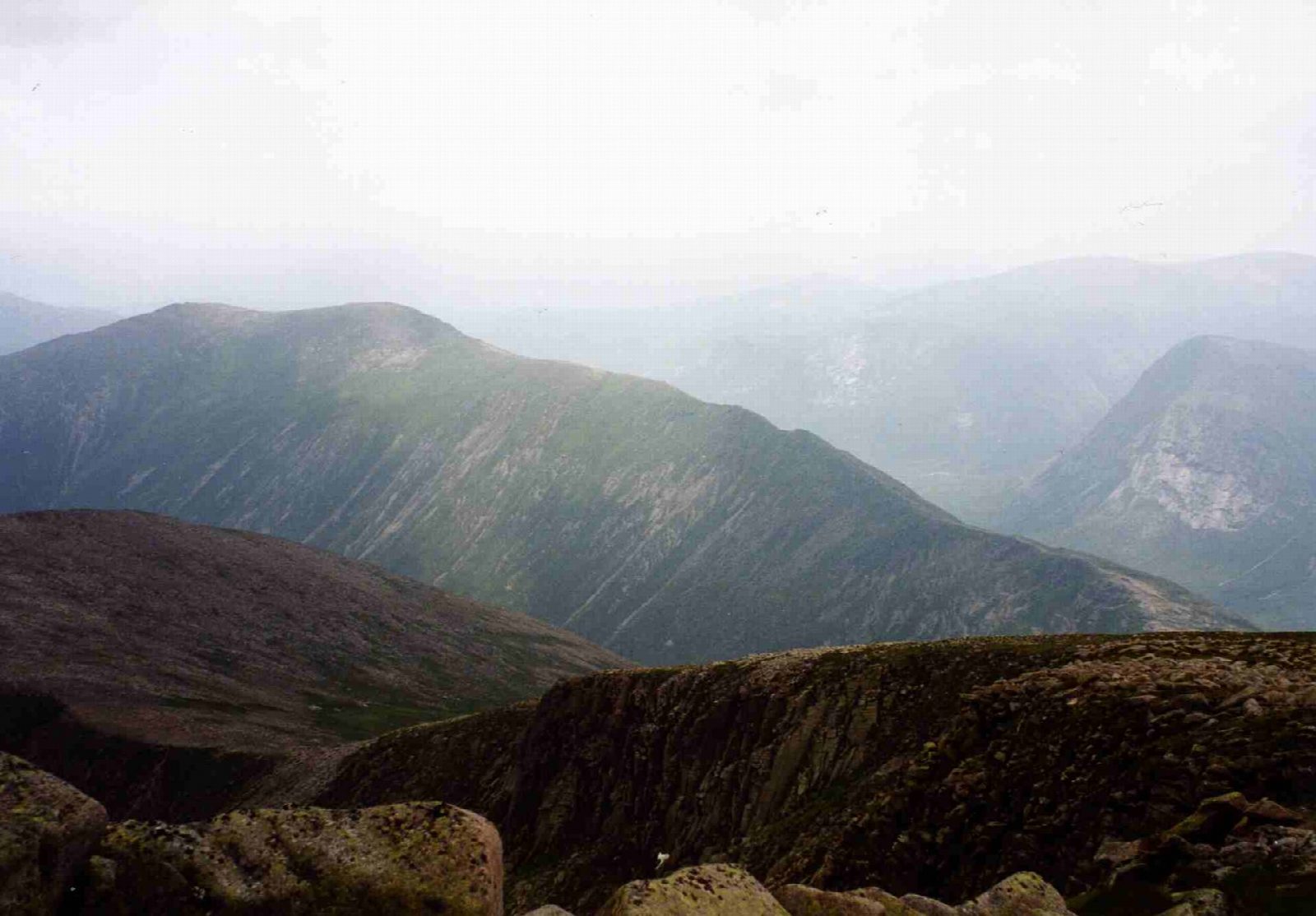
From the top the Devil's Point and Cairn Toul rise across the deep trench of the Dee. The best of the hill is the arête running north-north-west from the summit towards Ben Macdui; it is worth walking along it before turning back.
The Luibeg Burn is often a substantial river: if the ford is high, use the bridge about 400 m upstream. Bob Scott's bothy, just south of Derry Lodge, is an open refuge; please leave it tidy.
Route drawn by Global Adventurer along OpenStreetMap paths (© OpenStreetMap contributors, ODbL), with figures worked out from it. Check the forecast and the ground on the day: paths change.
Good to know
- A narrow arête runs north from the summit towards Ben Macdui
- Views across the Lairig Ghru to the Devil's Point and Cairn Toul
- The Luibeg Burn ford can be deep: there is a bridge about 400 m upstream
- Past Derry Lodge and Bob Scott's bothy
Summits on the way
- Carn a' Mhaim 1,039 m
Getting there
Start: Linn of Dee car park · Pay and display. 56.98974, -3.54334
Places to stay nearby
Rooms in and around Aviemore: Booking.com → Expedia →
Affiliate links: if you book, Global Adventurer earns a small commission at no cost to you.
Paths change, and the weather decides the day. The line and figures come from OpenStreetMap and our own checks; take a map, check the forecast, and turn back if it isn't right.


