Line © OpenStreetMap contributors (ODbL), checked by Global Adventurer.
The walk
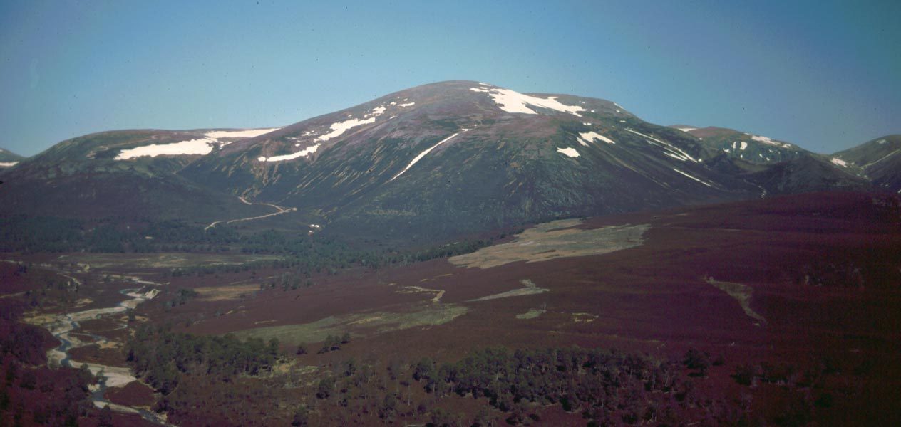
The walk starts from the pay car park at the end of the public road towards the Linn of Quoich. A path climbs above the car park into the old pinewood and joins the track up Glen Quoich. After several kilometres the track reaches the Allt an Dubh-ghleann, which has to be waded, and continues into the pines below Càrn Allt na Beinne. A path built by the National Trust for Scotland then climbs the hillside to the saddle of An Diollaid, and the broad ridge above leads to the plateau and the north top, 1,196 m. Return the same way.
It is 27.7 km (17.2 miles) with 899 m (2,950 ft) of ascent; allow about 9¼ hours. The grade is Strenuous.
Glen Quoich's old Scots pines are some of the most attractive in the Cairngorms. The path up the ridge replaces a bulldozed track that was once one of the ugliest scars in the Highlands, now healing under the Trust's care. From the plateau edge you can look down into Coire an Dubh-lochain and its lochan.
The river crossing is impossible in spate, so think about recent rain. The plateau is extremely exposed in bad weather and needs good navigation.
Route drawn by Global Adventurer along OpenStreetMap paths (© OpenStreetMap contributors, ODbL), with figures worked out from it. Check the forecast and the ground on the day: paths change.
Good to know
- Through the old Scots pines of Glen Quoich
- The Allt an Dubh-ghleann must be waded, and is impassable in spate
- The National Trust for Scotland has turned an old bulldozed track into a path
- A vast summit plateau above Coire an Dubh-lochain
Summits on the way
- Beinn a' Bhuird [Beinn a' Bhuird North Top] 1,196 m
Getting there
Start: Linn of Quoich car park · Pay and display. 57.00178, -3.45523
Places to stay nearby
Rooms in and around Aviemore: Booking.com → Expedia →
Affiliate links: if you book, Global Adventurer earns a small commission at no cost to you.
Paths change, and the weather decides the day. The line and figures come from OpenStreetMap and our own checks; take a map, check the forecast, and turn back if it isn't right.


