Line © OpenStreetMap contributors (ODbL), checked by Global Adventurer.
The walk
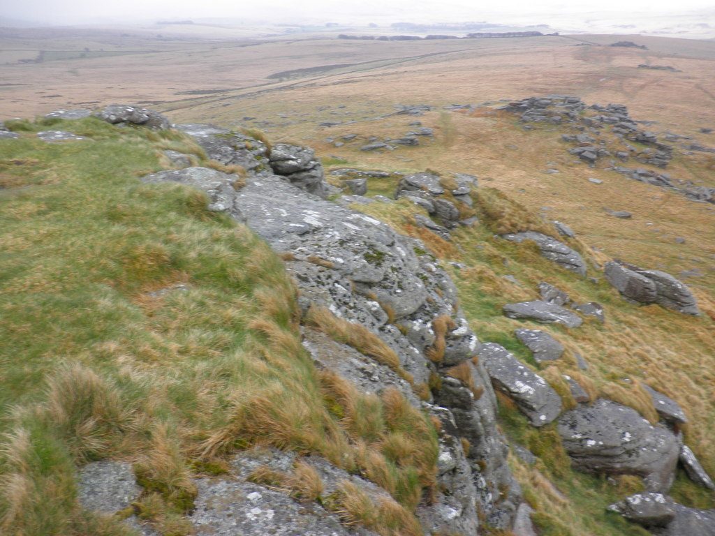
From the small car park opposite the Two Bridges Hotel a broad track heads north past Crockern Farm. Beyond a gateway the path narrows and runs up the east side of the West Dart valley to Wistman's Wood, a National Nature Reserve of stunted oaks growing among boulders thick with moss and lichen. Above the wood the walk climbs to Longaford Tor, then follows the ridge south over Littaford Tors to Crockern Tor, where the tinners' parliament once met, and back down to the track and Two Bridges.
It is 6.8 km with 136 m of ascent; allow about 2 hours. The grade is Easy. The climb to Longaford Tor is steep.
Please stay out of the wood and off its boulders: walking there destroys the rare mosses and lichens. The path past the gateway is rough, muddy and wet, and there are high stiles. The ridge is exposed and confusing in mist. The Merrivale firing range lies across the valley; the walk stays outside it.
The car park is free but holds only eight to ten cars; do not park in gateways or on the road. There is no station near; the nearest is Calstock, about 19 km away.
Route drawn by Global Adventurer along OpenStreetMap paths (© OpenStreetMap contributors, ODbL), with figures worked out from it. Check the forecast and the ground on the day: paths change.
Good to know
- Up the West Dart to Wistman's Wood, a stunted oak wood among mossy boulders and a National Nature Reserve
- Walkers are asked not to enter the wood or climb on the boulders
- Over Longaford Tor and Littaford Tors and back by Crockern Tor, where the tinners' parliament met
- Outside the military ranges: the Merrivale range lies on the far side of the valley
Summits on the way
- Longaford Tor 507 m
- Littaford Tor
- Little Bee Tor · passed close by
- Crockern Tor
Getting there
Start: Two Bridges car park · Free parking. 50.55865, -3.96476
Places to stay nearby
Rooms in and around Calstock: Booking.com → Expedia →
Affiliate links: if you book, Global Adventurer earns a small commission at no cost to you.
Paths change, and the weather decides the day. The line and figures come from OpenStreetMap and our own checks; take a map, check the forecast, and turn back if it isn't right.
