Line © OpenStreetMap contributors (ODbL), checked by Global Adventurer.
The walk
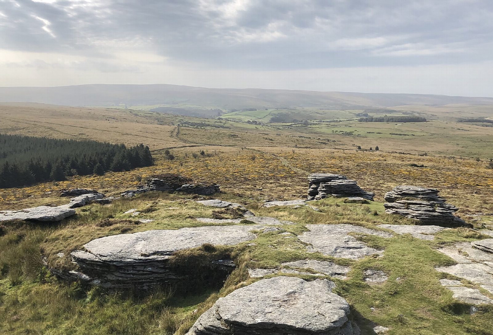
From the National Park car park at Postbridge the walk visits the clapper bridge over the East Dart, the largest on Dartmoor. Forest tracks lead south through Bellever Forest to Laughter Hole Farm, and a path climbs out onto the open moor to Bellever Tor at 443 m, with views across the middle of the moor. The return heads north over Lakehead Hill, past cists and a short stone row, and by the Bronze Age enclosure of Kraps Ring back to Postbridge.
It is 9.2 km with 274 m of ascent; allow about 3 hours. The grade is Moderate. Much of it is on forest tracks; the climb to the tor is steep and rocky.
Forestry England is thinning trees across most of the forest through autumn 2026: paths may be diverted, so follow the signs. The ground is wet in places. Ponies graze the moor; do not feed them, and keep gates shut.
The car park is a National Park pay car park; the Forestry England car park next to it also charges. There is no station near; the nearest is Okehampton, about 17 km away.
Route drawn by Global Adventurer along OpenStreetMap paths (© OpenStreetMap contributors, ODbL), with figures worked out from it. Check the forecast and the ground on the day: paths change.
Good to know
- The Postbridge clapper bridge, the largest on Dartmoor, over the East Dart
- Through Bellever Forest past Laughter Hole Farm, then up to Bellever Tor at 443 m
- Back over Lakehead Hill past cists, a stone row and the Bronze Age enclosure of Kraps Ring
- Forestry England is thinning the forest through autumn 2026
Summits on the way
- Bellever Tor 443 m
- Lakehead Hill
Getting there
Start: Postbridge car park · Pay and display. 50.59357, -3.91327
Places to stay nearby
Rooms in and around Okehampton: Booking.com → Expedia →
Affiliate links: if you book, Global Adventurer earns a small commission at no cost to you.
Paths change, and the weather decides the day. The line and figures come from OpenStreetMap and our own checks; take a map, check the forecast, and turn back if it isn't right.