Line © OpenStreetMap contributors (ODbL), checked by Global Adventurer.
The walk
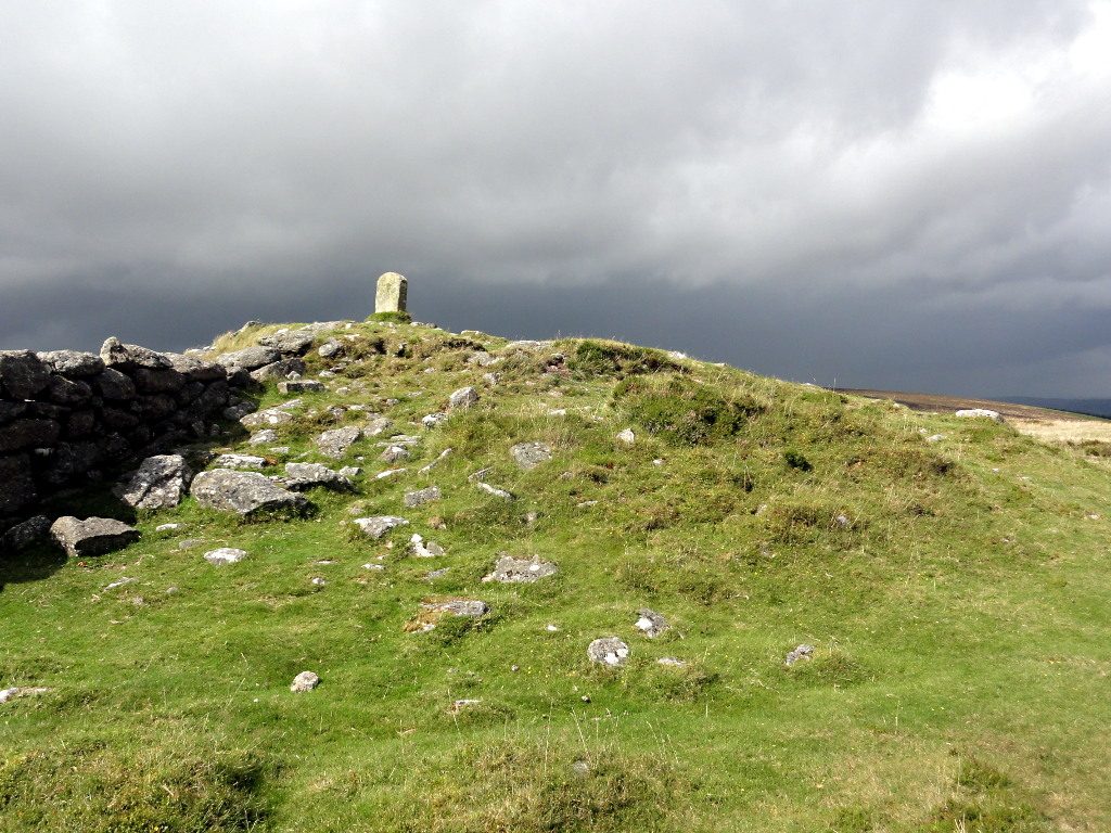
From the car park in Widecombe-in-the-Moor the walk climbs the Two Moors Way onto Hamel Down. The broad ridge runs north past Hameldown Beacon, a line of Bronze Age barrows and a memorial stone to the crew of a bomber that crashed here in 1941, to Hameldown Tor at about 530 m. It drops to Grimspound, a Bronze Age enclosure ringed by a great stone wall, then takes a bridleway down to Natsworthy Gate and quiet lanes back south through the East Webburn valley to the village.
It is 11.9 km with 339 m of ascent; allow about 4 hours. The grade is Moderate. About a third is on lanes on the way back.
Hamel Down is high, open and exposed, and featureless in mist: carry a map. The climb out of the village is steep. Ponies and sheep graze the down, so keep dogs on leads.
Widecombe car park is run by Teignbridge Council and charges a fee. There is no station near; the nearest is Newton Abbot, about 16 km away.
Route drawn by Global Adventurer along OpenStreetMap paths (© OpenStreetMap contributors, ODbL), with figures worked out from it. Check the forecast and the ground on the day: paths change.
Good to know
- Up the Two Moors Way onto Hamel Down, past Hameldown Beacon and its Bronze Age barrows
- A memorial stone on Hamel Down marks a bomber crash of 1941
- Down to Grimspound, then back by Natsworthy and the East Webburn valley
- Widecombe's church tower is known as the Cathedral of the Moor
Summits on the way
- Hameldown Beacon
- Hameldown [Hamel Down] 532 m · passed close by
- Hameldown Tor
Getting there
Start: Widecombe-in-the-Moor car park · Pay and display. 50.57759, -3.81046
Places to stay nearby
Rooms in and around Newton Abbot: Booking.com → Expedia →
Affiliate links: if you book, Global Adventurer earns a small commission at no cost to you.
Paths change, and the weather decides the day. The line and figures come from OpenStreetMap and our own checks; take a map, check the forecast, and turn back if it isn't right.
