Line © OpenStreetMap contributors (ODbL), checked by Global Adventurer.
The walk
From the car park by Dartmeet bridge, where the East and West Dart meet, the walk climbs past Badger's Holt on a path up the hillside. It reaches the rocks of Yar Tor, which stand a short way above the path, with a fine view down the wooded gorge of the Dart. The path goes on across the open moor to Corndon Tor. The way back is the same.
It is 3.6 km with 233 m of ascent; allow about 1½ hours. The grade is Easy. The climb from Dartmeet is steady and steep in places.
The moor is open and exposed, and easy to lose your way on in mist. Ponies and cattle graze freely, so keep dogs on leads near stock. Dartmeet is very busy in summer; the stepping stones by the car park are impassable after rain, and this walk does not need them.
The car park at Dartmeet is shown as free on the map, though no official page confirms who runs it or what it charges. There is no station near; the nearest is Ivybridge, about 17 km away.
Route drawn by Global Adventurer along OpenStreetMap paths (© OpenStreetMap contributors, ODbL), with figures worked out from it. Check the forecast and the ground on the day: paths change.
Good to know
- From Dartmeet, where the East and West Dart join, up past Badger's Holt
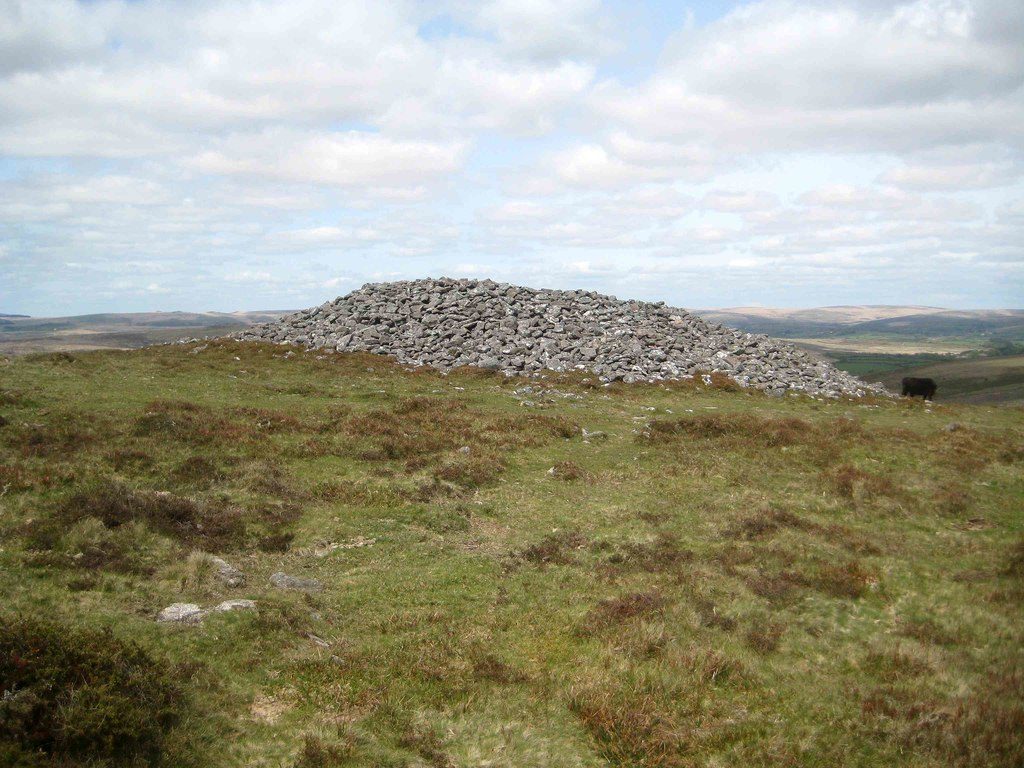
- To Yar Tor and on to Corndon Tor, with views down the Dart gorge
- Back the same way
- Ponies and cattle graze the open moor
Summits on the way
- Corndon Tor [Corndon Down] 434 m
Getting there
Start: Dartmeet car park · Free parking. 50.54419, -3.87503
Places to stay nearby
Rooms in and around Ivybridge: Booking.com → Expedia →
Affiliate links: if you book, Global Adventurer earns a small commission at no cost to you.
Paths change, and the weather decides the day. The line and figures come from OpenStreetMap and our own checks; take a map, check the forecast, and turn back if it isn't right.
