Line © OpenStreetMap contributors (ODbL), checked by Global Adventurer.
The walk
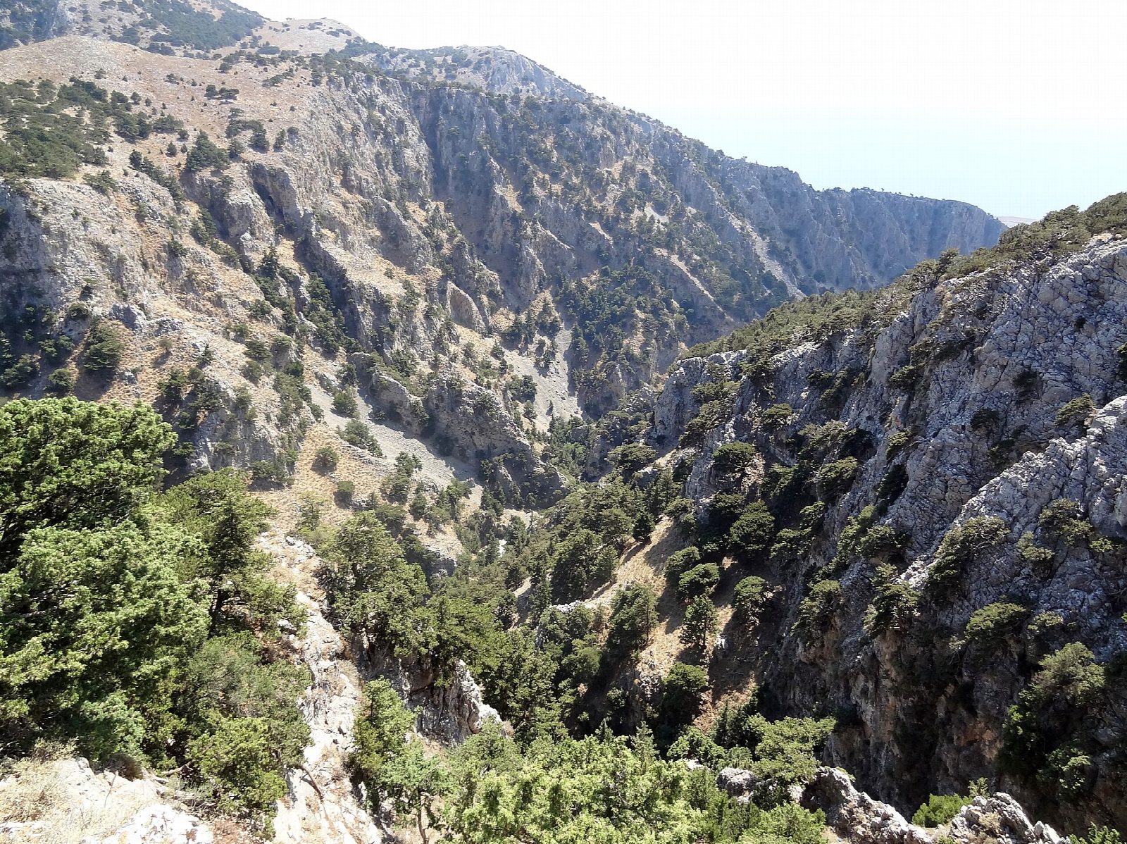
From the car park at Imbros, on the road from the Askyfou plateau down to the south coast, the path enters the gorge and follows its dry, stony bed down between rising walls of rock. Halfway down the gorge narrows to a passage only about 1.6 m wide, and further on the walls open out towards the sea. The path leaves the gorge above the coast and ends at the hamlet of Komitades, looking over the Libyan Sea.
It is 6.3 km one way with 12 m of ascent and 629 m of descent; allow about 2 hours. The grade is Easy: all downhill on a rough bed of stones and boulders, where boots with ankle support help.
A small fee is charged at the entrance to the gorge (€5 in 2026). It can be walked all year except in heavy rain or snow. In summer it is hot, so start early and carry water. It runs parallel to the Samaria Gorge but is shorter and quieter.
Leave the car at Imbros and take a taxi back up from Komitades, or walk back up the gorge. Chora Sfakion, with buses to Chania, is a short way along the coast.
Route drawn by Global Adventurer along OpenStreetMap paths (© OpenStreetMap contributors, ODbL), with figures worked out from it. Check the forecast and the ground on the day: paths change.
Good to know
- The gorge runs parallel to Samaria but is shorter and quieter, dropping about 650 m to the coast
- At its narrowest the walls are only about 1.6 m apart
- The way follows a dry stony stream bed, so wear boots with ankle support
- It can be walked all year except in heavy rain or snow
Getting there
Start: Imbros, car park at the top of the gorge · Free parking. 35.25382, 24.17145
Places to stay nearby
Rooms in and around Imbros: Booking.com → Expedia →
Affiliate links: if you book, Global Adventurer earns a small commission at no cost to you.
Paths change, and the weather decides the day. The line and figures come from OpenStreetMap and our own checks; take a map, check the forecast, and turn back if it isn't right.