Line © OpenStreetMap contributors (ODbL), checked by Global Adventurer.
The walk
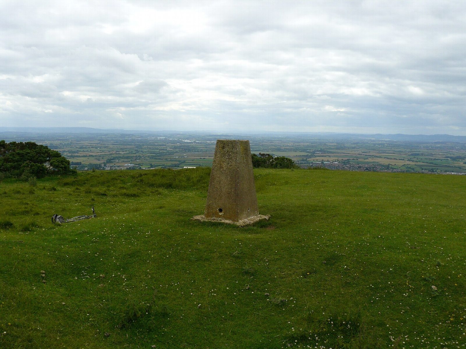
From the Quarry car park on Cleeve Hill the walk climbs gently across Cleeve Common, a great open plateau of limestone grassland, to the trig point at 330 m, the highest point in the Cotswolds; the last stretch to it is out and back. It turns north-west past the radio masts to the edge of the escarpment and follows the Cotswold Way along Cleeve Cloud, past the stone known as Huddlestone's Table, with wide views over Cheltenham and the Severn Vale to the Malverns. It passes The Ring, an Iron Age earthwork, and drops back to the car park.
It is 7.2 km with 160 m of ascent; allow about 2 hours. The grade is Easy. Most of it is on grass paths and tracks across the common.
The common is shared with a golf course and grazed by cattle and sheep; keep dogs under close control. The scarp edge at Cleeve Cloud is steep and has old quarry faces. In mist the plateau is featureless, so carry a map.
The Quarry car park charges a fee. There is no station near; the nearest is Cheltenham Spa, about 8 km away.
Route drawn by Global Adventurer along OpenStreetMap paths (© OpenStreetMap contributors, ODbL), with figures worked out from it. Check the forecast and the ground on the day: paths change.
Good to know
- Cleeve Common's trig point at 330 m, the highest point in the Cotswolds
- Along the Cotswold Way on the edge of Cleeve Cloud, past Huddlestone's Table
- The Ring, an Iron Age earthwork above the scarp
- The common is shared with a golf course and grazing cattle
Summits on the way
- Cleeve Hill 330 m · passed close by
Getting there
Start: Quarry car park, Cleeve Hill · Pay and display. 51.94285, -2.01680
Places to stay nearby
Rooms in and around Quarry car park: Booking.com → Expedia →
Affiliate links: if you book, Global Adventurer earns a small commission at no cost to you.
Paths change, and the weather decides the day. The line and figures come from OpenStreetMap and our own checks; take a map, check the forecast, and turn back if it isn't right.