Line © OpenStreetMap contributors (ODbL), checked by Global Adventurer.
The walk
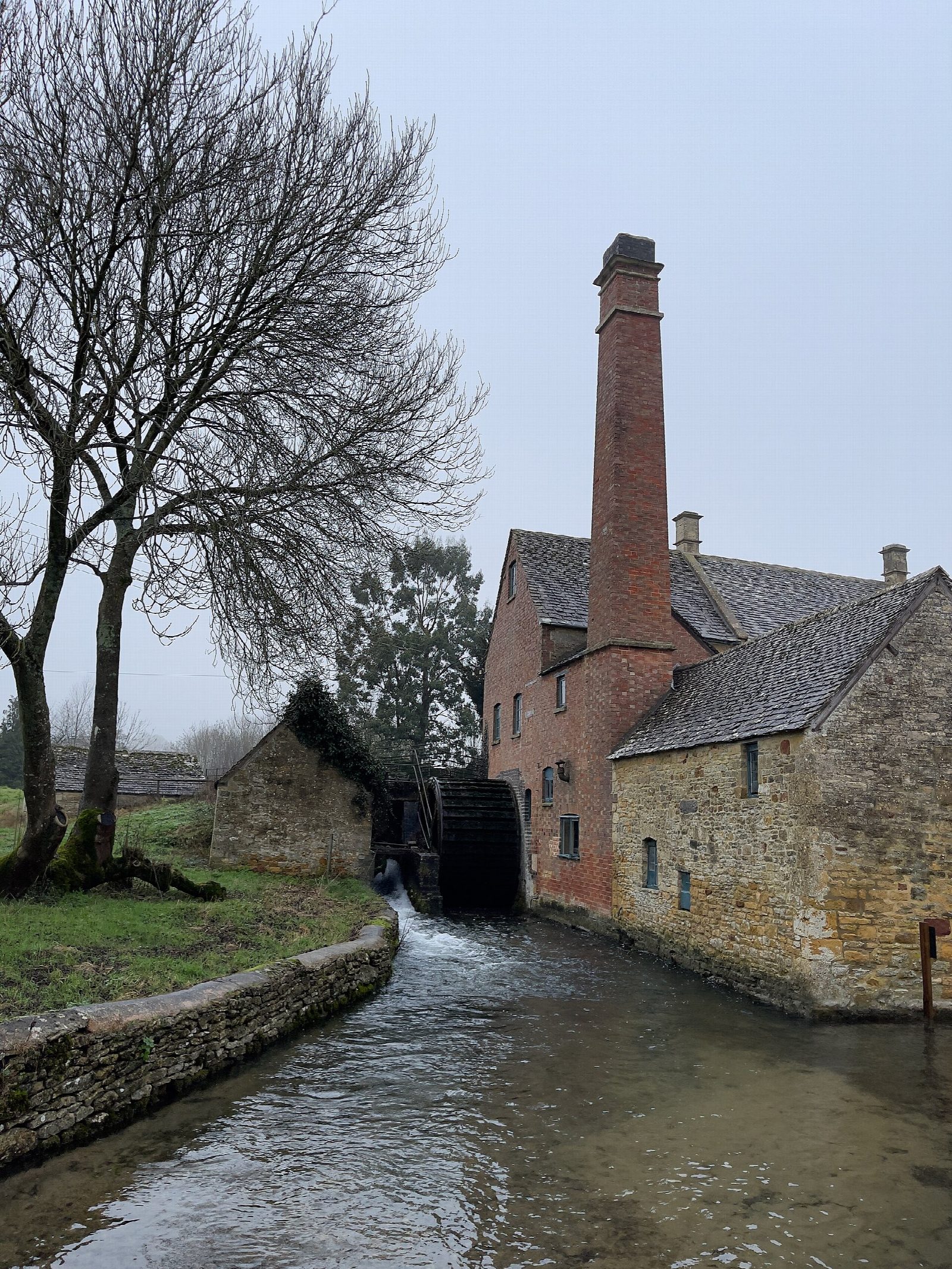
From the Rissington Road car park the walk goes through the centre of Bourton-on-the-Water and out across the fields to Lower Slaughter, where the River Eye runs past cottages to the old watermill. A path follows the little river upstream through meadows to Upper Slaughter, a quiet village with a ford, a manor and a church. The way back to Lower Slaughter takes the lane over Becky Hill, and from there the outward field path returns to Bourton.
It is 8.2 km with 30 m of ascent; allow about 2 hours. The grade is Easy. It is almost flat, on field paths, village streets and a quiet lane.
About 2 km at each end is walked both ways. The field paths cross stiles and gates and can be muddy, and sheep and cattle graze some fields, so keep dogs on leads. Bourton and Lower Slaughter are very busy on summer weekends.
Rissington Road is a Cotswold District Council pay car park on the edge of Bourton. There is no station near; the nearest is Kingham, about 9 km away.
Route drawn by Global Adventurer along OpenStreetMap paths (© OpenStreetMap contributors, ODbL), with figures worked out from it. Check the forecast and the ground on the day: paths change.
Good to know
- Across the fields from Bourton-on-the-Water to Lower Slaughter and its watermill
- Up the River Eye to Upper Slaughter, one of the Cotswolds' 'thankful villages'
- Back to Lower Slaughter by Becky Hill, then the same field path to Bourton
- Flat and short: a walk between three of the best-known Cotswold villages
Getting there
Start: Rissington Road car park, Bourton-on-the-Water · Pay and display. 51.88085, -1.75326
Places to stay nearby
Rooms in and around Rissington Road car park: Booking.com → Expedia →
Affiliate links: if you book, Global Adventurer earns a small commission at no cost to you.
Paths change, and the weather decides the day. The line and figures come from OpenStreetMap and our own checks; take a map, check the forecast, and turn back if it isn't right.