Line © OpenStreetMap contributors (ODbL), checked by Global Adventurer.
The walk
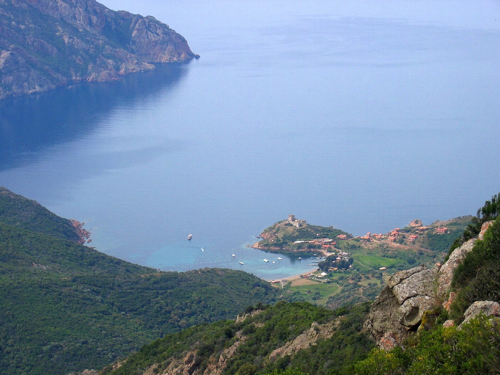
From the car park at the Col de la Croix (Bocca a Croce), on the coast road between Porto and Calvi, an old mule path drops through the maquis to the pebble beach of Tuara. It climbs over the headland beyond and comes down to Girolata, a fishing village on its own bay, watched over by a Genoese fort, with boats in the harbour and no road. Return the same way, with the climb of about 270 m from the sea back to the col.
It is 9.6 km there and back with 452 m of ascent; allow about 3½ hours. The grade is Moderate: a stony mule path with steady climbs and descents.
There is little shade, so carry water and avoid the heat of a summer afternoon; Girolata has cafés in season. In summer, risk of forest fire can close walks in Corsica on bad days. The village looks over the Gulf of Girolata, part of the Gulf of Porto World Heritage Site.
The free car park at the Col de la Croix is on the D81 coast road north of Porto.
Route drawn by Global Adventurer along OpenStreetMap paths (© OpenStreetMap contributors, ODbL), with figures worked out from it. Check the forecast and the ground on the day: paths change.
Good to know
- Girolata is a fishing village with a Genoese fort that no road reaches, on the Gulf of Girolata
- The mule path drops from the Col de la Croix to the cove of Tuara, then climbs over a headland and down to Girolata
- The way back climbs about 270 m from sea level to the road
Getting there
Start: Col de la Croix car park. 42.32637, 8.63214
Places to stay nearby
Rooms in and around Calvi: Booking.com → Expedia →
Affiliate links: if you book, Global Adventurer earns a small commission at no cost to you.
Paths change, and the weather decides the day. The line and figures come from OpenStreetMap and our own checks; take a map, check the forecast, and turn back if it isn't right.
