Line © OpenStreetMap contributors (ODbL), checked by Global Adventurer.
The walk
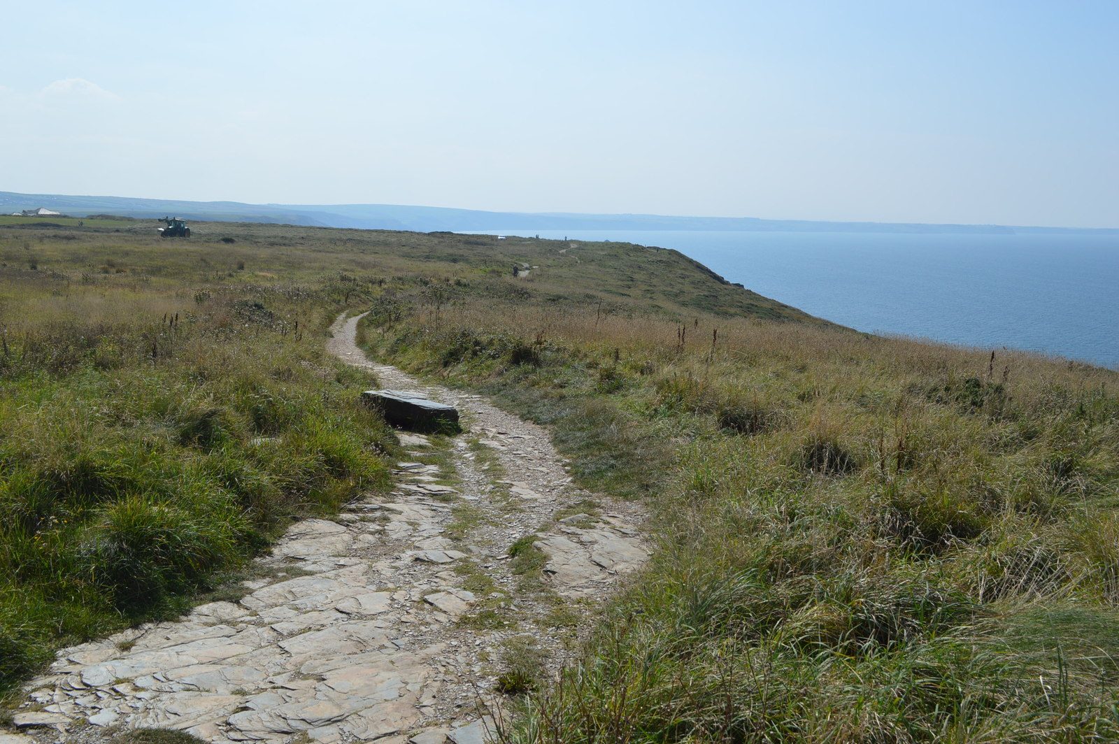
From the small car park by St Materiana's church on Glebe Cliff the walk follows the coast path south along the cliffs, past the old slate quarries cut into them. It drops to Trebarwith Strand, with its beach, café and pub. The way back climbs the coast path again for about a kilometre, then turns inland on a path through the fields and a byway back to the church.
It is 5.0 km with 156 m of ascent; allow about 1½ hours. The grade is Easy. There are steep climbs in and out of the cove.
The cliff edges are unfenced. Trebarwith Strand is covered by the sea for several hours around high tide and the water comes in fast: check the tides if you go onto the beach. There are slate stiles, two with narrow gaps that large dogs may struggle with. The coast path north of the church, towards the castle, was diverted after floods in December 2025; this walk heads south.
The car park by the church is free and small, and fills early. There is no station near; the nearest is Bodmin Parkway, about 25 km away.
Route drawn by Global Adventurer along OpenStreetMap paths (© OpenStreetMap contributors, ODbL), with figures worked out from it. Check the forecast and the ground on the day: paths change.
Good to know
- From St Materiana's church on Glebe Cliff, south along the cliffs past old slate quarries
- Down to Trebarwith Strand, a beach covered for hours around high tide
- Back by an inland path and a byway
- Unfenced cliff edges and slate stiles
Getting there
Start: Tintagel Church Hill car park · Free parking. 50.66267, -4.76035
Places to stay nearby
Rooms in and around Bodmin Parkway: Booking.com → Expedia →
Affiliate links: if you book, Global Adventurer earns a small commission at no cost to you.
Paths change, and the weather decides the day. The line and figures come from OpenStreetMap and our own checks; take a map, check the forecast, and turn back if it isn't right.