Line © OpenStreetMap contributors (ODbL), checked by Global Adventurer.
The walk
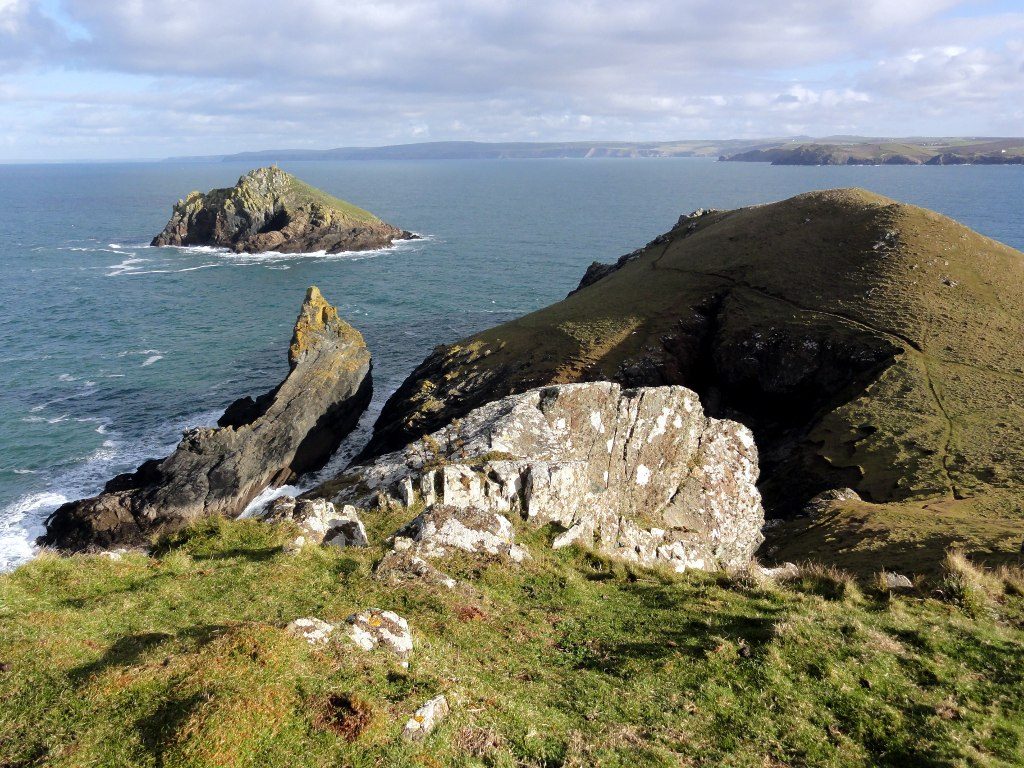
From the National Trust's Lead Mines car park the walk crosses the fields to the coast path and follows it north round the Pentire headland. It reaches The Rumps, an Iron Age cliff fort on twin headlands, with Puffin Island offshore, then runs west to Pentire Point, with wide views across the mouth of the Camel. The path turns south past Pentireglaze Haven, and a track leads back through the fields of Pentire Farm to the car park.
It is 6.2 km with 197 m of ascent; allow about 2 hours. The grade is Easy. There are steps and uneven ground.
The rocky path runs close to the cliff edge in places. Cattle can graze the headland all year, and the National Trust asks for dogs on leads because of sheep and cattle. The paths are muddy after heavy rain. Grey seals and peregrines can be seen from the cliffs.
The car park is a National Trust pay car park, free to members. There is no station near; the nearest is Roche, about 19 km away.
Route drawn by Global Adventurer along OpenStreetMap paths (© OpenStreetMap contributors, ODbL), with figures worked out from it. Check the forecast and the ground on the day: paths change.
Good to know
- Round the Pentire headland on the coast path
- The Rumps, an Iron Age cliff fort on twin headlands
- Pentire Point and back past Pentireglaze Haven
- Cattle can graze the headland all year
Getting there
Start: Lead Mines car park, Pentire · Pay and display. 50.58323, -4.91005
Places to stay nearby
Rooms in and around Lead Mines car park: Booking.com → Expedia →
Affiliate links: if you book, Global Adventurer earns a small commission at no cost to you.
Paths change, and the weather decides the day. The line and figures come from OpenStreetMap and our own checks; take a map, check the forecast, and turn back if it isn't right.
