Line © OpenStreetMap contributors (ODbL), checked by Global Adventurer.
The walk
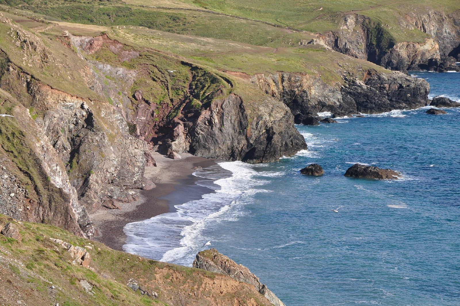
From the National Trust car park above Kynance Cove the walk follows the coast path south along the clifftops, past Caerthillian Cove, to Lizard Point, the most southerly point of mainland Britain. It passes the old lifeboat station at Polpeor and the Lizard Lighthouse, then follows the coast round Housel Bay to Bass Point and its old Lloyd's signal station. Lanes and paths lead inland through Lizard village and back across the downs to Kynance.
It is 8.9 km with 189 m of ascent; allow about 2½ hours. The grade is Easy. About a fifth is on lanes.
The cliff edges are unfenced, and the path near Lizard Point has steep climbs that get muddy after rain. Livestock graze at Lizard Point and ground-nesting birds live there, so keep dogs under close control. Kynance beach almost disappears at high tide; the walk does not need it, and dogs are banned there from 10am to 6pm in July and August.
The car park is a National Trust pay car park, free to members; it is often full in summer. There is no station near; the nearest is Penmere, about 22 km away.
Route drawn by Global Adventurer along OpenStreetMap paths (© OpenStreetMap contributors, ODbL), with figures worked out from it. Check the forecast and the ground on the day: paths change.
Good to know
- Along the clifftops from Kynance Cove to Lizard Point, the most southerly point of mainland Britain
- Past the old lifeboat station at Polpeor and the Lizard Lighthouse
- Round to Bass Point and its Lloyd's signal station, then back through Lizard village
- Choughs nest on this coast
Getting there
Start: Kynance Cove car park · Pay and display. 49.97425, -5.22517
Places to stay nearby
Rooms in and around Penmere: Booking.com → Expedia →
Affiliate links: if you book, Global Adventurer earns a small commission at no cost to you.
Paths change, and the weather decides the day. The line and figures come from OpenStreetMap and our own checks; take a map, check the forecast, and turn back if it isn't right.