Line © OpenStreetMap contributors (ODbL), checked by Global Adventurer.
The walk
From the visitor centre in Letterfrack, follow the blue arrows of the Lower Diamond Hill walk east along its north side and up the steps onto the lower slopes. Where the red arrows branch off, take the Upper Diamond Hill walk, which runs one way only, clockwise: up the gravel path and stone steps of the west face, then east along the quartzite summit ridge over the top. Go down the far side to the south and loop back west to the lower walk, and follow its south-west side back to the visitor centre.
It is 7.1 km round with 358 m of ascent; allow about 3 hours. The grade is Moderate: gravel paths and boardwalk low down, then steep stone steps and a stony ridge at the top.
The summit ridge is exposed to the wind and slippery when wet, and cloud can cover the top. Keep dogs on a lead. Since 1 July 2026 the visitor centre, with its café and toilets, opens Wednesday to Sunday and on bank holiday Mondays, 9am to 5.30pm. The trails stay open every day.
The car park at the visitor centre is free, for daytime visits only, with no overnight parking or camping. Citylink's Galway to Clifden buses stop at The Country Shop in Letterfrack, about 500 m from the park entrance, and Bus Éireann also serves the village.
Route drawn by Global Adventurer along OpenStreetMap paths (© OpenStreetMap contributors, ODbL), with figures worked out from it. Check the forecast and the ground on the day: paths change.
Good to know
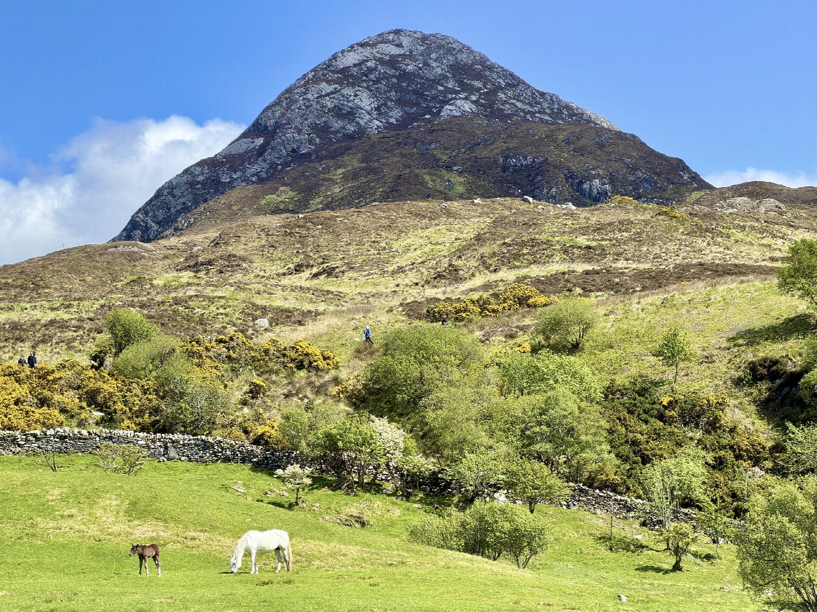
- Diamond Hill (442 m) takes its name from quartzite near the top that glints after rain
- From the summit you see the Twelve Bens, Kylemore Abbey and the islands off the Connemara coast
- The upper loop runs one way, clockwise, to keep walkers apart on the narrow stone steps
- Paths of gravel, boardwalk and stone protect the blanket bog
Summits on the way
- Diomond Hill [Bengooria] 443 m · passed close by
Getting there
Start: Connemara National Park visitor centre car park. 53.55037, -9.94548
Places to stay nearby
Rooms in and around Westport: Booking.com → Expedia →
Affiliate links: if you book, Global Adventurer earns a small commission at no cost to you.
Paths change, and the weather decides the day. The line and figures come from OpenStreetMap and our own checks; take a map, check the forecast, and turn back if it isn't right.