Line © OpenStreetMap contributors (ODbL), checked by Global Adventurer.
The hike
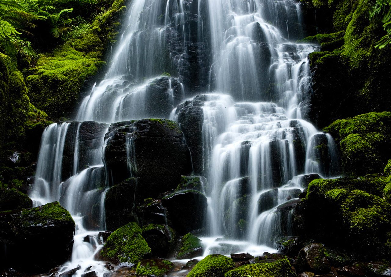
The walk starts at the Multnomah Falls parking lot between the lanes of I-84 at Exit 31, a short walk from the lodge at the foot of the falls. The paved Larch Mountain Trail climbs in switchbacks to the top of Multnomah Falls, then follows Multnomah Creek upstream past Dutchman Falls, Wiesendanger Falls and Ecola Falls. Turn west on the Wahkeena Trail, which crosses the ridge and descends beside Wahkeena Creek, past Fairy Falls, to Wahkeena Falls. The Return Trail runs just above the Historic Highway back to the lodge.
It is a 5.2-mile (8.4 km) loop with 1,660 feet (505 m) of climbing; allow about 3½ hours. The grade is Moderate: one long climb at the start, much of it on paved switchbacks, and a steep way down.
In summer a timed-use permit from Recreation.gov is needed to park at the I-84 lot between 9 a.m. and 6 p.m.; in 2026 the dates were May 22 to September 7. No permit is needed if you come by the Columbia Gorge Express bus or by bicycle. The small lot on the Historic Highway is run privately and charges for parking.
Dogs must be leashed. Clean your boots before and after the walk, to keep weed seeds out. Spring brings the most water over the falls. In fall 2026 there were roadworks on the Historic Highway, so check before driving it.
Route drawn by Global Adventurer along OpenStreetMap paths (© OpenStreetMap contributors, ODbL), with figures worked out from it. Check the forecast and the ground on the day: paths change.
Good to know
- Up past Multnomah Falls, Oregon's tallest at about 190 m, to a string of falls above it
- Down by Fairy Falls and Wahkeena Falls, then back below the cliffs to the lodge
- The I-84 car park needs a timed-use permit on summer days
Getting there
Start: Multnomah Falls parking, I-84 exit 31 · Free parking. 45.57877, -122.11858
Places to stay nearby
Rooms in and around Multnomah Falls parking: Booking.com → Expedia →
Affiliate links: if you book, Global Adventurer earns a small commission at no cost to you.
Paths change, and the weather decides the day. The line and figures come from OpenStreetMap and our own checks; take a map, check the forecast, and turn back if it isn't right.
