Line © OpenStreetMap contributors (ODbL), checked by Global Adventurer.
The hike
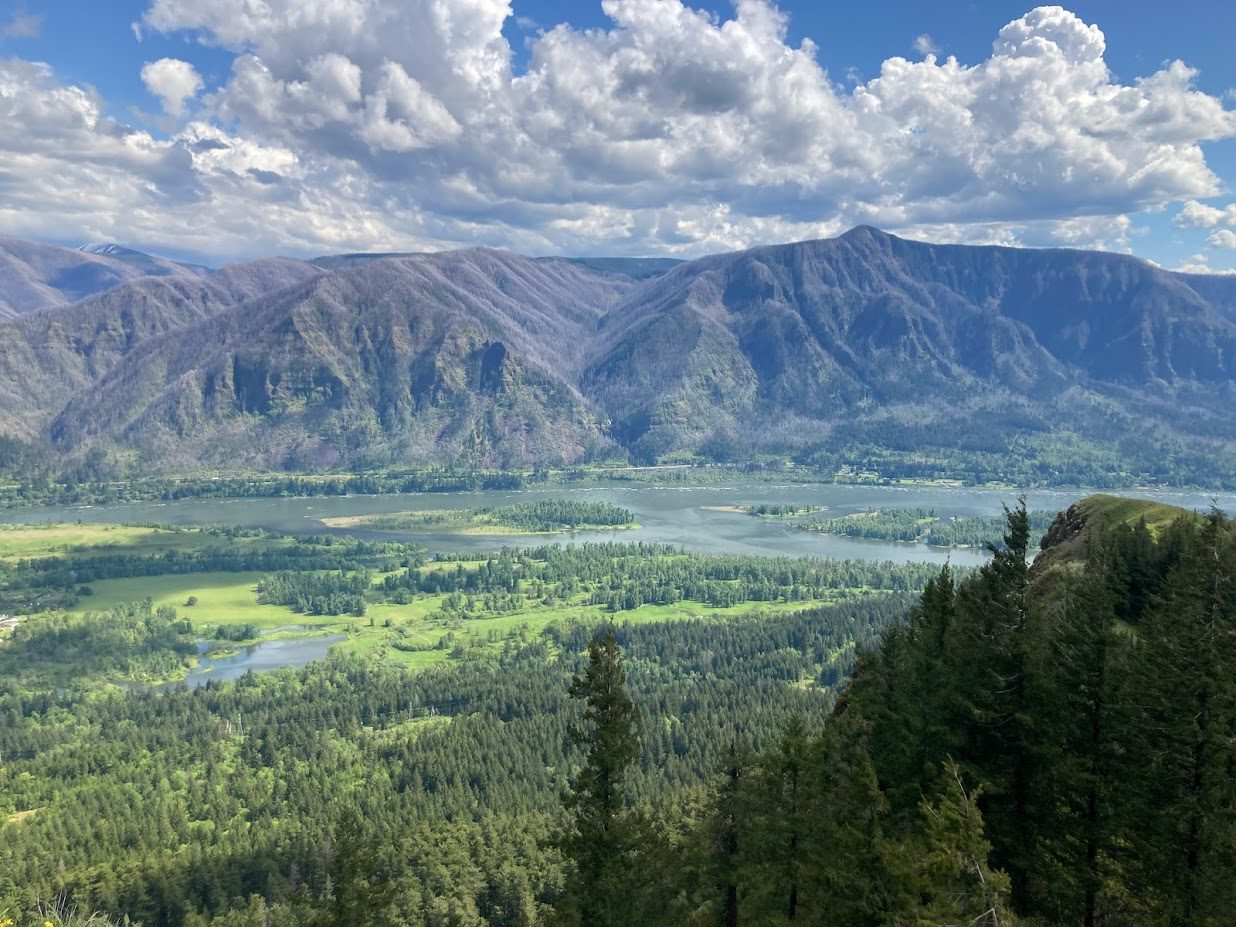
The walk starts at the Hamilton Mountain Trailhead in Beacon Rock State Park, off State Route 14. The Hamilton Mountain Trail climbs through forest to a viewpoint of Hardy Falls, about a mile in, and then to Rodney Falls, where a short side path leads to the Pool of the Winds. Beyond the falls and the junction with the Hardy Creek Trail it climbs in steep switchbacks, along the tops of cliffs, to the summit of Hamilton Mountain, 3 miles from the start. Return the same way.
It is 5.5 miles (8.8 km) round trip with 1,870 feet (570 m) of climbing; allow about 4 hours. The grade is Moderate: a sustained climb, steep in its upper half.
The stretch past Hardy Falls and Rodney Falls is badly eroded and can be dangerous in the wet. The upper trail runs along cliff edges, so take care, above all with children. To make a loop, carry on for three quarters of a mile to the saddle beyond the summit and come down by the Hardy Creek Trail, which makes 7.5 miles in all.
A Discover Pass is needed to park: $10 for a day or $45 for a year. The park is open from 8 a.m. until dusk all year. Dogs are allowed on a leash. A burn ban was in force when checked on October 1, 2026.
Route drawn by Global Adventurer along OpenStreetMap paths (© OpenStreetMap contributors, ODbL), with figures worked out from it. Check the forecast and the ground on the day: paths change.
Good to know
- Past Hardy Falls, Rodney Falls and the Pool of the Winds to a summit above the river
- In Beacon Rock State Park: a Discover Pass is needed
- An eroded stretch near the falls is slippery when wet; steep switchbacks near the top
Summits on the way
- Little Hamilton Mountain · passed close by
- Hamilton Mountain 2,415 ft (736 m)
Getting there
Start: Hamilton Mountain Trailhead · Parking fee. 45.63259, -122.01968
Places to stay nearby
Rooms in and around Columbia River Gorge: Booking.com → Expedia →
Affiliate links: if you book, Global Adventurer earns a small commission at no cost to you.
Paths change, and the weather decides the day. The line and figures come from OpenStreetMap and our own checks; take a map, check the forecast, and turn back if it isn't right.
