Line © OpenStreetMap contributors (ODbL), checked by Global Adventurer.
The hike
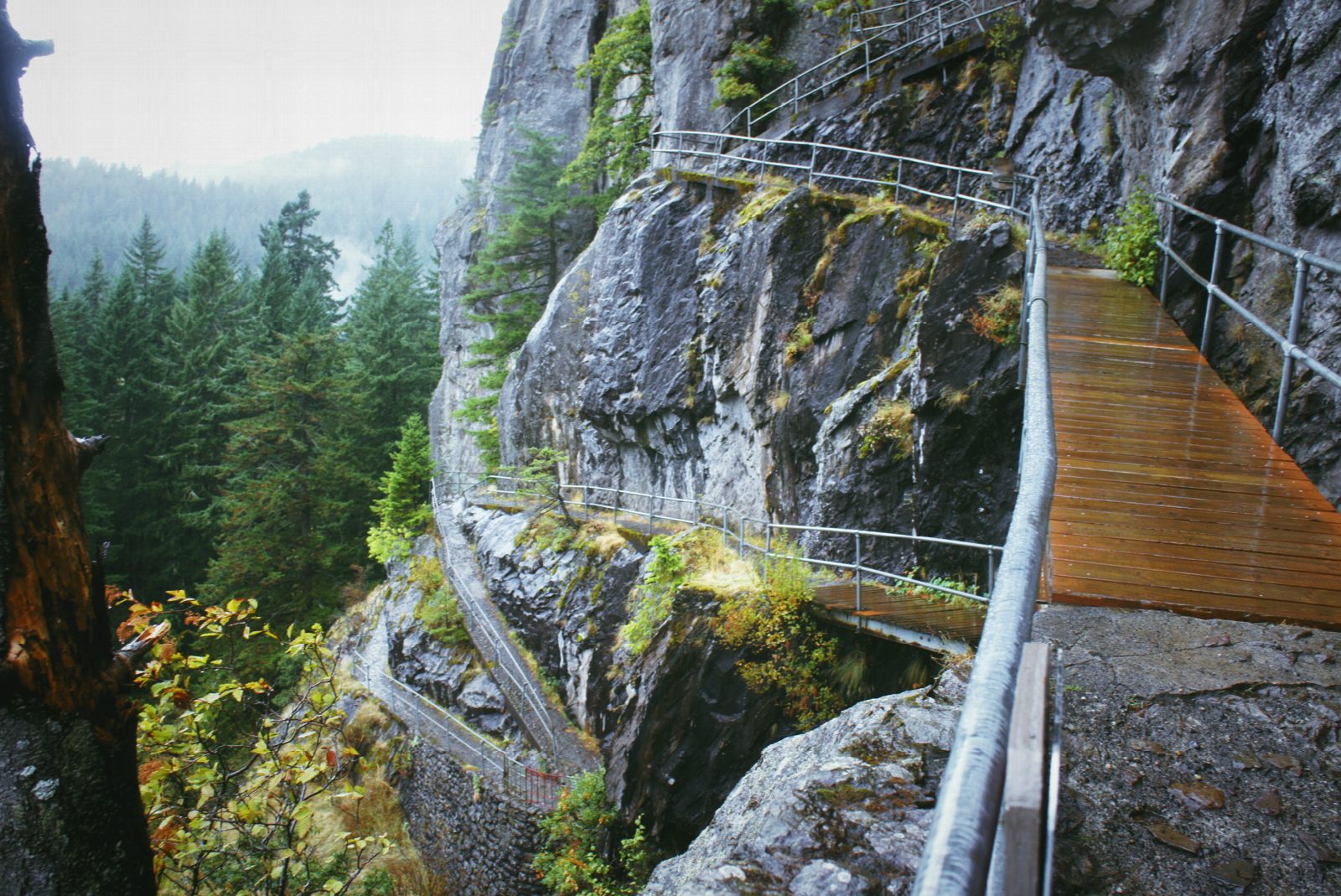
The walk starts at the Beacon Rock parking area on the south side of State Route 14, at milepost 35. The Beacon Rock Trail runs through a short stretch of woods, among mossy boulders, to the foot of the rock. It then climbs the face in 52 switchbacks, on walkways and bridges with a handrail all the way, to the top at 848 feet, with views up and down the Columbia River Gorge. Return the same way.
It is 1.6 miles (2.6 km) round trip with 680 feet (207 m) of climbing; allow about 1½ hours. The grade is Easy: short and well protected, though it climbs all the way.
From October 1, 2026, until the end of May 2027 the trail is closed on Tuesdays, Wednesdays and Thursdays while its decking is replaced, so go between Friday and Monday. Dogs must be leashed. Keep hold of small children: beyond the rail the drops are sheer.
A Discover Pass is needed to park: $10 for a day or $45 for a year. The park is open from 8 a.m. until dusk all year, and there are restrooms beside the parking area. The rock is the core of an ancient volcano. Lewis and Clark camped here, and it was here that they first noticed the tide in the river.
Route drawn by Global Adventurer along OpenStreetMap paths (© OpenStreetMap contributors, ODbL), with the distance and time worked out from it. The climb is the published figure: height data cannot be trusted on this ground. Check the forecast and the ground on the day: paths change.
Good to know
- Switchbacks with handrails climb the core of an old volcano beside the Columbia
- Lewis and Clark noted the rock on their way down the river in 1805
- A Washington state park: a Discover Pass is needed
Summits on the way
- Beacon Rock 846 ft (258 m)
Getting there
Start: Beacon Rock Trailhead · Parking fee. 45.62903, -122.02115
Places to stay nearby
Rooms in and around Columbia River Gorge: Booking.com → Expedia →
Affiliate links: if you book, Global Adventurer earns a small commission at no cost to you.
Paths change, and the weather decides the day. The line and figures come from OpenStreetMap and our own checks; take a map, check the forecast, and turn back if it isn't right.