Line © OpenStreetMap contributors (ODbL), checked by Global Adventurer.
The hike
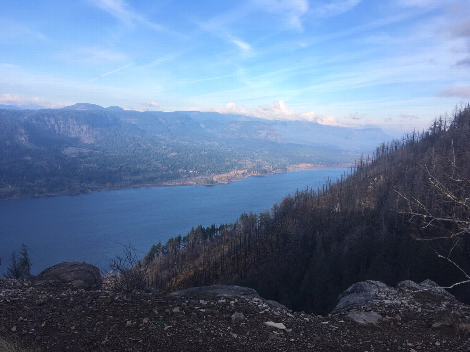
The walk starts at the Angel's Rest Trailhead at the Bridal Veil exit of I-84. Our line begins at the overflow parking lot on Palmer Mill Road, a few minutes from the main lot. The Angels Rest Trail climbs through forest, passing Coopey Falls, then works up through trees and boulders across slopes burned in the Eagle Creek Fire of 2017. It ends on Angel's Rest, an open bluff of rock, with views along the Gorge as far as Beacon Rock. Return the same way.
It is 4.6 miles (7.4 km) round trip with 1,300 feet (395 m) of climbing; allow about 3 hours. The grade is Moderate: a steady climb with a rocky finish.
The top is bare rock with long drops, so keep children and dogs close, and expect wind. In the burned areas be alert for falling trees, landslides and debris, above all after storms. Dogs must be leashed at all times.
No parking or trailhead pass is needed. There are no toilets at the trailhead; the nearest are at Bridal Veil Falls State Park. The trail is busy at weekends all year, and the parking lots are small, so go early or on a weekday.
Route drawn by Global Adventurer along OpenStreetMap paths (© OpenStreetMap contributors, ODbL), with figures worked out from it. Check the forecast and the ground on the day: paths change.
Good to know
- A basalt bluff with wide views up the Gorge, opened up by the 2017 Eagle Creek Fire
- The last rocky spine has drops on both sides: take care with children and dogs
- The car park at the Bridal Veil exit fills early, and the top is often windy
Summits on the way
- Angel's Rest 1,588 ft (484 m) · passed close by
Getting there
Start: Angel's Rest Trailhead. 45.55889, -122.17424
Places to stay nearby
Rooms in and around Columbia River Gorge: Booking.com → Expedia →
Affiliate links: if you book, Global Adventurer earns a small commission at no cost to you.
Paths change, and the weather decides the day. The line and figures come from OpenStreetMap and our own checks; take a map, check the forecast, and turn back if it isn't right.
